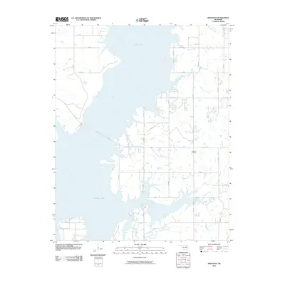
2010 Map of Winganon
USGS Topo · Published 2010About this map
Oologah Lake dominates this Oklahoma landscape, its wide waters and complex shoreline defining the region's geography. The map reveals the intricate network of inlets where Plumb Creek and Panther Creek meet the reservoir, as well as the southern reach of Spencer Creek. The rural character of Rogers County is maintained through a grid of numbered section roads that bridge the gaps between the water's edge and the surrounding plains.
Find a feature on this map
30 named features on this map. Tap any name to fly to it.
Don’t see what you’re looking for? This feature index may not catch every label — zoom into the map to look around manually.
Map Details
Editions of this 2010 Winganon Map
This is the sole edition of this map. No revisions or reprints were ever made.
Other maps of this area

1896 · Pryor
USGS Topo · 1:125,000

1901 · Claremore
USGS Topo · 1:125,000

1901 · Nowata
USGS Topo · 1:125,000

1901 · Vinita
USGS Topo · 1:125,000

1901 · Pryor
USGS Topo · 1:125,000

1913 · Vinita
USGS Topo · 1:125,000

1914 · Nowata
USGS Topo · 1:125,000

1914 · Claremore
USGS Topo · 1:125,000

1916 · Claremore
USGS Topo · 1:125,000

1954 · Tulsa
USGS Topo · 1:250,000