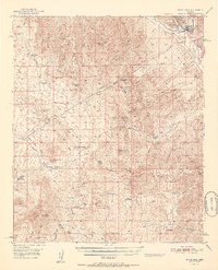
1951 Map of Winkelman
USGS Topo · Published 1951About this map
The Gila River corridor dominates this mid-century landscape, where industrial copper processing meets the desert ranching tradition. Centered on the town of Winkelman, the map reveals a heavy industrial presence at the northern edge, marked by large Tailings and a Pond adjacent to the river. Beyond the settled area of Dudleyville, the terrain transitions into the complex topography of the Tortilla Mountains. This area is defined by its water-scarce environment, evidenced by the numerous named wells and tanks like Whitehead Well and Cowhead Tank that supported the various homesteads. Scattered throughout the hills are several mineral prospects, including the Silver Queen Mine and Grand Prize Mine, alongside numerous ranch sites such as Ripsey Ranch and Romero Ranch, documenting a period of shifting land use as older mining and ranching outposts began to fade into the desert landscape.
Find a feature on this map
63 named features on this map. Tap any name to fly to it.
Don’t see what you’re looking for? This feature index may not catch every label — zoom into the map to look around manually.
Map Details
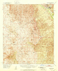
Editions of this 1951 Winkelman Map
2 editions found
Other maps of this area

1900 · Florence
USGS Topo · 1:125,000

1902 · Florence
USGS Topo · 1:125,000

1910 · Ray
USGS Topo · 1:62,500

1911 · Winkelman
USGS Topo · 1:125,000

1913 · Winkelman
USGS Topo · 1:125,000

1915 · Christmas
USGS Topo · 1:62,500

1917 · Christmas
USGS Topo · 1:62,500

1934 · Newman Peak
USGS Topo · 1:125,000

1948 · Mammoth
USGS Topo · 1:62,500

1948 · Mammoth
USGS Topo · 1:24,000