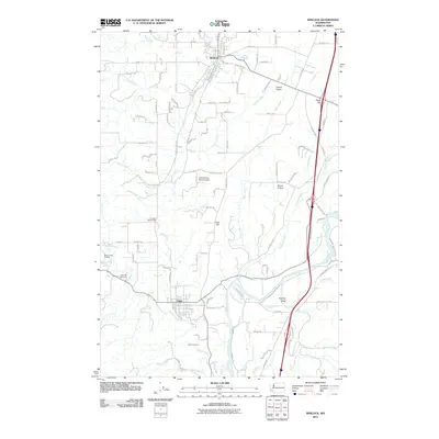
2011 Map of Winlock
USGS Topo · Published 2011About this map
Winlock and Vader serve as the primary anchors of this southwestern Lewis County landscape, where the rail-aligned settlements follow the north-south drainage of Olequa Creek. The terrain is characterized by elevated flatlands such as Grand Prairie and Drews Prairie, interspersed with prominent rises like Finn Hill. Local community life is evidenced by the Cougar Flat Grange and the Brim Creek School, reflecting a rural infrastructure that persisted into the twenty-first century. Transport routes are dominated by the interstate corridor and numerous family-named roads like McCorkle Rd and Jones Rd. In the south, the Cowlitz River cuts through the valley near Smokey Valley, bordered by the recreational grounds of Barnes State Park. Genealogists may find value in the location of Little Falls Cemetery near the banks of Stillwater Creek.
Find a feature on this map
111 named features on this map. Tap any name to fly to it.
Don’t see what you’re looking for? This feature index may not catch every label — zoom into the map to look around manually.
Map Details
Editions of this 2011 Winlock Map
This is the sole edition of this map. No revisions or reprints were ever made.
Other maps of this area

1916 · Chehalis
USGS Topo · 1:125,000

1941 · Meskill
USGS Topo · 1:62,500

1941 · Olequa
USGS Topo · 1:62,500

1953 · Hoquiam
USGS Topo · 1:250,000

1953 · Castle Rock
USGS Topo · 1:62,500

1953 · Ryderwood
USGS Topo · 1:62,500

1953 · Adna
USGS Topo · 1:62,500

1954 · Centralia
USGS Topo · 1:62,500

1957 · Hoquiam
USGS Topo · 1:250,000

1958 · Hoquiam
USGS Topo · 1:250,000