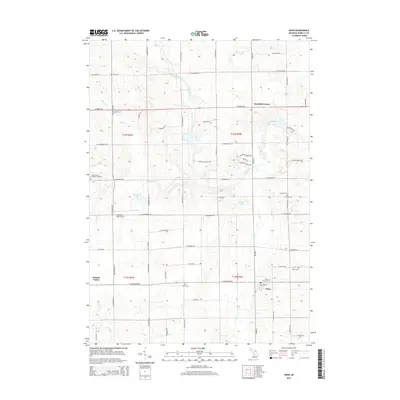
2014 Map of Winn
USGS Topo · Published 2014About this map
Winn and Deerfield Center anchor this Isabella County landscape, where the agricultural grid is defined by a dense network of country roads. The Chippewa River meanders across the northern half of the quadrangle, joined by tributaries like Stony Brook and Squaw Cr, while Cedar Cr drains the southern fields near the town of Winn. This area is notably dense with community markers for genealogists and local historians, featuring numerous burial grounds including Saint Leo's Cem, Zion Cem, and the Broomfield Number One Cem. The presence of the Woodruff Lake Airport near Woodruff Lake indicates the modern utility of the land, yet the distribution of multiple "Center" settlements like Rolland Center suggests the deep-rooted township-based organization of mid-Michigan's rural interior.
Find a feature on this map
58 named features on this map. Tap any name to fly to it.
Don’t see what you’re looking for? This feature index may not catch every label — zoom into the map to look around manually.
Map Details
Editions of this 2014 Winn Map
This is the sole edition of this map. No revisions or reprints were ever made.
Other maps of this area

1916 · Mount Pleasant
USGS Topo · 1:62,500

1919 · Mount Pleasant
USGS Topo · 1:62,500

1943 · Mount Pleasant
USGS Topo · 1:62,500

1954 · Midland
USGS Topo · 1:250,000

1958 · Midland
USGS Topo · 1:250,000

1959 · Midland
USGS Topo · 1:250,000

1964 · Edmore
USGS Topo · 1:24,000

1964 · Blanchard
USGS Topo · 1:24,000

1964 · Sherman City
USGS Topo · 1:24,000

1965 · Vestaburg
USGS Topo · 1:24,000