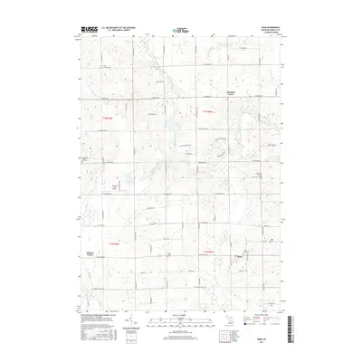
2017 Map of Winn
USGS Topo · Published 2017About this map
The Chippewa River winds through this central Michigan landscape, defining the character of Isabella County just south of Mount Pleasant. The settlement at Winn serves as a local anchor, situated near several established community landmarks including Saint Leo's Cem and the Union Cem. To the north, Deerfield Center sits at the intersection of W Remus Rd and S Winn Rd, while Rolland Center marks the western reach of the map.
Find a feature on this map
58 named features on this map. Tap any name to fly to it.
Don’t see what you’re looking for? This feature index may not catch every label — zoom into the map to look around manually.
Map Details
Editions of this 2017 Winn Map
This is the sole edition of this map. No revisions or reprints were ever made.
Other maps of this area

1916 · Mount Pleasant
USGS Topo · 1:62,500

1919 · Mount Pleasant
USGS Topo · 1:62,500

1943 · Mount Pleasant
USGS Topo · 1:62,500

1954 · Midland
USGS Topo · 1:250,000

1958 · Midland
USGS Topo · 1:250,000

1959 · Midland
USGS Topo · 1:250,000

1964 · Edmore
USGS Topo · 1:24,000

1964 · Blanchard
USGS Topo · 1:24,000

1964 · Sherman City
USGS Topo · 1:24,000

1965 · Vestaburg
USGS Topo · 1:24,000