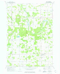
1973 Map of Winn
USGS Topo · Published 1975About this map
The Isabella Indian Reservation Boundary defines much of the northern landscape here, where agricultural fields meet the winding course of the Chippewa River. Small rural clusters such as Winn and Two Rivers serve as anchor points for this central Michigan community, which is tied together by a grid of local routes like Millbrook Road and Blanchard Road. The area is notably dotted with sites of local heritage, including the Union Cem and Zion Ch, reflecting a settled landscape of family farms and small-town commerce.
Find a feature on this map
53 named features on this map. Tap any name to fly to it.
Don’t see what you’re looking for? This feature index may not catch every label — zoom into the map to look around manually.
Map Details
Editions of this 1973 Winn Map
This is the sole edition of this map. No revisions or reprints were ever made.
Other maps of this area

1916 · Mount Pleasant
USGS Topo · 1:62,500

1919 · Mount Pleasant
USGS Topo · 1:62,500

1943 · Mount Pleasant
USGS Topo · 1:62,500

1954 · Midland
USGS Topo · 1:250,000

1958 · Midland
USGS Topo · 1:250,000

1959 · Midland
USGS Topo · 1:250,000

1964 · Edmore
USGS Topo · 1:24,000

1964 · Blanchard
USGS Topo · 1:24,000

1964 · Sherman City
USGS Topo · 1:24,000

1965 · Vestaburg
USGS Topo · 1:24,000