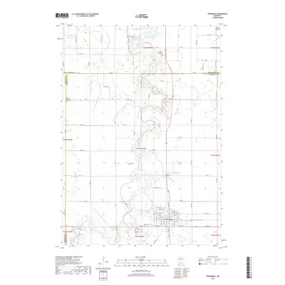
2019 Map of Winnebago
USGS Topo · Published 2019About this map
Winnebago anchors the southern portion of this landscape, situated at the confluence of several vital water management systems and natural drainages. The Blue Earth River meanders through the center of the terrain, joined by Elm Cr and a complex network of engineered drainage, including Judicial Ditch Number Twentyfive and County Ditch Number Twentyfour. These ditches reflect the intensive agricultural heritage of Faribault County, where the land was reclaimed for farming from marshy areas like the Jackson Lakebed. For family historians, the sheet is particularly dense with burial grounds, ranging from the Pioneer Shelbyville Cem in the north to the cluster of Saint Marys Cem, Riverside Cem, and Rose Hill Cem south of the main settlement, preserving the names of early prairie congregations.
Find a feature on this map
61 named features on this map. Tap any name to fly to it.
Don’t see what you’re looking for? This feature index may not catch every label — zoom into the map to look around manually.
Map Details
Editions of this 2019 Winnebago Map
This is the sole edition of this map. No revisions or reprints were ever made.
Other maps of this area

1954 · Fairmont
USGS Topo · 1:250,000

1958 · Fairmont
USGS Topo · 1:250,000

1967 · Truman SE
USGS Topo · 1:24,000

1967 · Winnebago
USGS Topo · 1:24,000

1967 · Willow Creek
USGS Topo · 1:24,000

1967 · Granada
USGS Topo · 1:24,000

1967 · Huntley
USGS Topo · 1:24,000
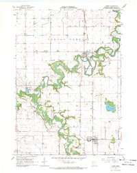
1967 · Amboy
USGS Topo · 1:24,000
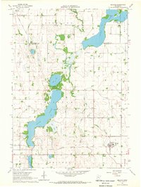
1967 · Delavan
USGS Topo · 1:24,000
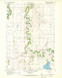
1967 · Sterling Center
USGS Topo · 1:24,000