
1958 Map of Winnemucca
USGS Topo · Published 1960About this map
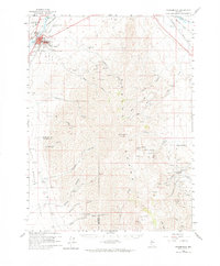
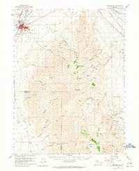
Winnemucca serves as the focal point of this late 1950s survey, positioned where the Southern Pacific and Western Pacific railroads converge along the Humboldt River. The town's infrastructure is clearly marked, including the Courthouse, Hospital, and the Radio Tower KWNA. Southeast of the settlement, the Sonoma Range dominates the landscape, rising to the heights of Sonoma Peak.
Find a feature on this map
45 named features on this map. Tap any name to fly to it.
Don’t see what you’re looking for? This feature index may not catch every label — zoom into the map to look around manually.
Map Details
Editions of this 1958 Winnemucca Map
3 editions found
Other maps of this area

1882 · Paradise
USGS Topo · 1:250,000

1893 · Paradise
USGS Topo · 1:250,000

1932 · Sonoma Range
USGS Topo · 1:250,000

1939 · Sonoma Range
USGS Topo · 1:250,000

1945 · Osgood Mountains
USGS Topo · 1:62,500

1947 · Osgood Mountains
USGS Topo · 1:62,500

1955 · McDermitt
USGS Topo · 1:250,000

1955 · Winnemucca
USGS Topo · 1:250,000

1958 · Winnemucca
USGS Topo · 1:250,000

1958 · Rose Creek
USGS Topo · 1:62,500