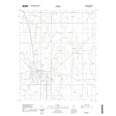
2020 Map of Winnsboro
USGS Topo · Published 2020About this map
Winnsboro serves as the focal point of this Franklin Parish survey, centered on the Franklin Parish Courthouse and the surrounding grid of residential streets. The landscape is defined by the drainage patterns of Turkey Creek, Ash Slough, and Boggy Bayou, which cut through a network of rural roads and agricultural plots. This map is particularly significant for genealogists and local historians, as it documents several distinct burial sites including the Old Winnsboro Cem, Myrtle Memorial Cem, and Pine Grove Cem. To the north, the smaller settlement of Baskin is visible along the highway corridor. The transition from the developed center near the Winnsboro Municipal Airport to the outlying bayous and sloughs illustrates the persistent relationship between the town and its wetland environment.
Find a feature on this map
124 named features on this map. Tap any name to fly to it.
Don’t see what you’re looking for? This feature index may not catch every label — zoom into the map to look around manually.
Map Details
Editions of this 2020 Winnsboro Map
This is the sole edition of this map. No revisions or reprints were ever made.
Other maps of this area

1935 · Winnsboro
USGS Topo · 1:62,500

1935 · Alto
USGS Topo · 1:62,500

1935 · Baskinton
USGS Topo · 1:62,500

1939 · Fort Necessity
USGS Topo · 1:62,500

1955 · Jackson
USGS Topo · 1:250,000

1957 · Mangham
USGS Topo · 1:62,500

1958 · Baskinton
USGS Topo · 1:62,500

1958 · Winnsboro
USGS Topo · 1:62,500

1958 · Fort Necessity
USGS Topo · 1:62,500

1961 · Jackson
USGS Topo · 1:250,000