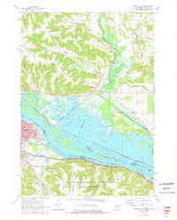
1972 Map of Winona East
USGS Topo · Published 1975About this map
Winona sits at the heart of this riverine landscape, where the Mississippi River creates a complex network of backwaters and channels. The city’s urban grid includes historic landmarks like St Stanislaus Ch and Washington-Kosciusko Sch, while the distinctive landmark Sugarloaf overlooks the valley from the south. The surrounding terrain is defined by steep ridges and deeply cut valleys, such as Platt Valley, Chicken Valley, and Piper Valley, many of which harbor small family burial grounds like the Piper Valley Cem.
Find a feature on this map
52 named features on this map. Tap any name to fly to it.
Don’t see what you’re looking for? This feature index may not catch every label — zoom into the map to look around manually.
Map Details
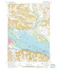
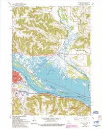
Editions of this 1972 Winona East Map
3 editions found
Other maps of this area

1929 · Fountain City
USGS Topo · 1:62,500

1929 · Galesville
USGS Topo · 1:62,500

1930 · La Crescent
USGS Topo · 1:62,500

1934 · Winona
USGS Topo · 1:62,500

1937 · Winona
USGS Topo · 1:62,500

1953 · Eau Claire
USGS Topo · 1:250,000

1956 · La Crescent
USGS Topo · 1:62,500

1958 · Eau Claire
USGS Topo · 1:250,000

1958 · Houston
USGS Topo · 1:62,500

1958 · La Crosse
USGS Topo · 1:250,000