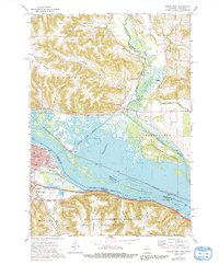
1972 Map of Winona East
USGS Topo · Published 1991About this map
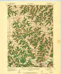
The Mississippi River valley dominates this 1972 survey, acting as both a natural boundary and a hub for industrial and conservation efforts. The Upper Mississippi River Wild Life and Fish Refuge spans the sprawling wetlands and braided channels between Winona and Marshland, showcasing the complex ecology of the river bottoms. The transportation network is remarkably dense, featuring four major rail lines including the Chicago and North Western and the Burlington Northern, which skirt the riverbanks to serve regional commerce.
Find a feature on this map
43 named features on this map. Tap any name to fly to it.
Don’t see what you’re looking for? This feature index may not catch every label — zoom into the map to look around manually.
Map Details
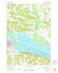
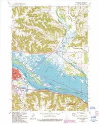
Editions of this 1972 Winona East Map
3 editions found
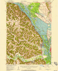
Other maps of this area

1929 · Fountain City
USGS Topo · 1:62,500

1929 · Galesville
USGS Topo · 1:62,500

1930 · La Crescent
USGS Topo · 1:62,500

1934 · Winona
USGS Topo · 1:62,500

1937 · Winona
USGS Topo · 1:62,500

1953 · Eau Claire
USGS Topo · 1:250,000
1956 · La Crescent
USGS Topo · 1:62,500

1958 · Eau Claire
USGS Topo · 1:250,000
1958 · Houston
USGS Topo · 1:62,500

1958 · La Crosse
USGS Topo · 1:250,000