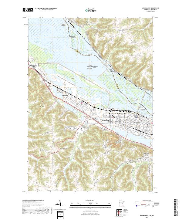
2022 Map of Winona West
USGS Topo · Published 2022About this map
Winona and its surrounding river valley are defined by the complex hydrology of the Mississippi River and a series of dramatic bluffs. The urban landscape includes academic landmarks like Winona State University and Saint Mary's University of Minnesota, while the Winona County Courthouse serves as a civic anchor. The geography is shaped by the river’s braided channels and numerous backwaters, including Straight Slough, Blackbird Slough, and Rileys Lake.
Find a feature on this map
170 named features on this map. Tap any name to fly to it.
Don’t see what you’re looking for? This feature index may not catch every label — zoom into the map to look around manually.
Map Details
Editions of this 2022 Winona West Map
This is the sole edition of this map. No revisions or reprints were ever made.
Historical Maps of Buffalo Through Time
12 maps found
1972 Weaver
Winona County, MN
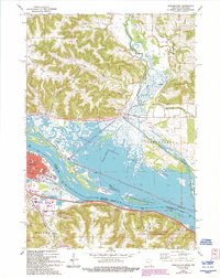
1972 Winona East
Winona County, MN
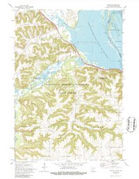
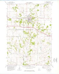
1972 Winona West
Winona County, MN
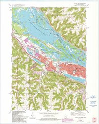
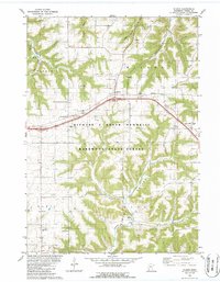
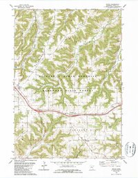
1974 St Charles
Winona County, MN
1980 Wilson
Winona County, MN
1980 Witoka
Winona County, MN
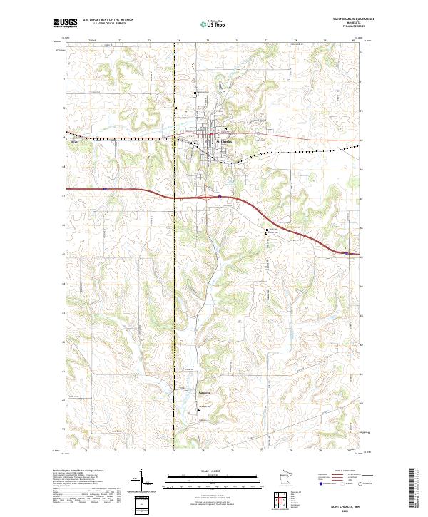
2022 Saint Charles
Winona County, MN
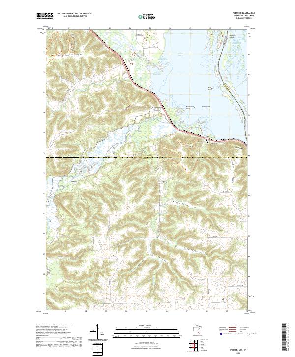
2022 Weaver
Winona County, MN
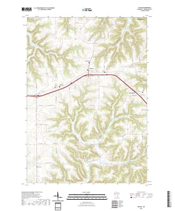
2022 Wilson
Winona County, MN
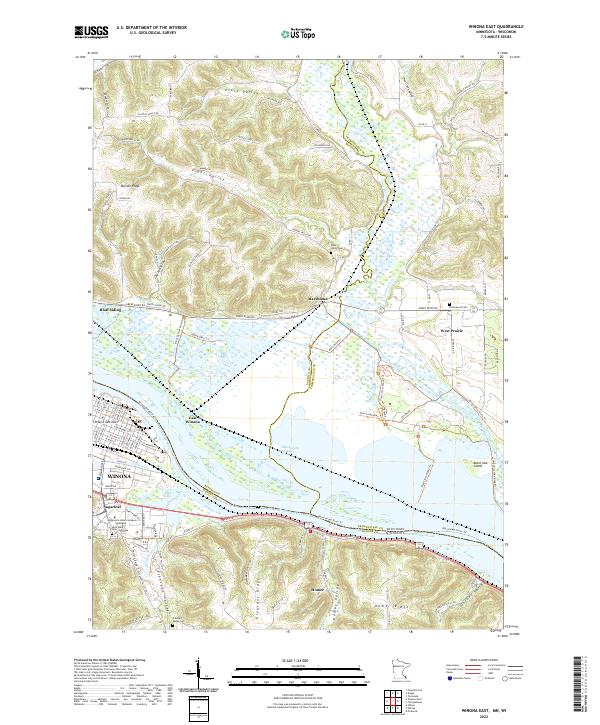
2022 Winona East
Winona County, MN
2022 Winona West
Winona County, MN
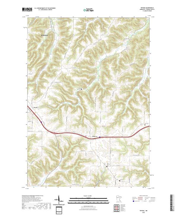
2022 Witoka
Winona County, MN