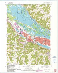
1972 Map of Winona West
USGS Topo · Published 1993About this map
The Mississippi River dominates this 1970s landscape, weaving through a complex network of backwaters and islands including Island No 64, Island No 66, and Island No 71. This environment is preserved largely within the Upper Mississippi River Wild Life and Fish Refuge, which separates the industrial and residential growth of Winona and Goodview from the steep bluffs of Buffalo Township across the state line. The map highlights a significant educational and civic infrastructure, from Winona State College and the College of St Teresa to local landmarks like the Courthouse and the Winona Muni Airport.
Find a feature on this map
62 named features on this map. Tap any name to fly to it.
Don’t see what you’re looking for? This feature index may not catch every label — zoom into the map to look around manually.
Map Details
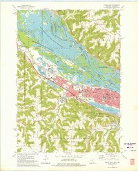
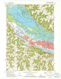
Editions of this 1972 Winona West Map
3 editions found
Other maps of this area

1929 · Fountain City
USGS Topo · 1:62,500

1932 · Cochrane
USGS Topo · 1:62,500

1934 · Winona
USGS Topo · 1:62,500

1934 · Cochrane
USGS Topo · 1:62,500

1937 · Winona
USGS Topo · 1:62,500

1937 · Cochrane
USGS Topo · 1:62,500

1953 · Eau Claire
USGS Topo · 1:250,000

1954 · Lewiston
USGS Topo · 1:62,500

1958 · Eau Claire
USGS Topo · 1:250,000

1958 · Houston
USGS Topo · 1:62,500