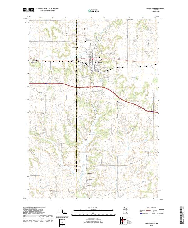
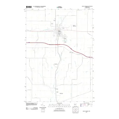
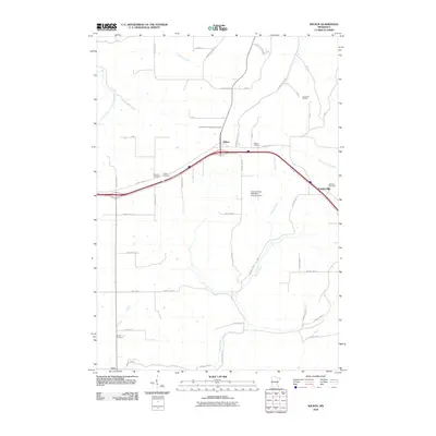
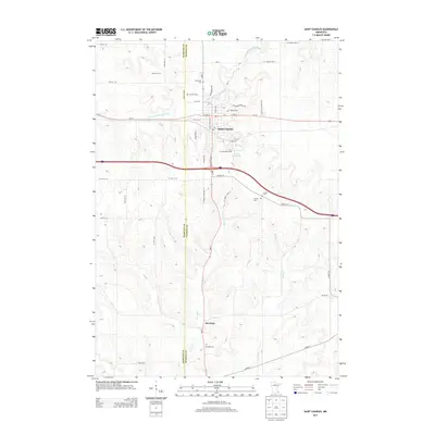
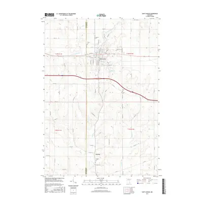
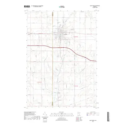
2022 Map of Saint Charles
USGS Topo · Published 2022About this map
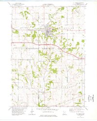
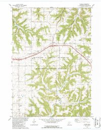
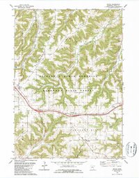
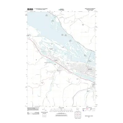
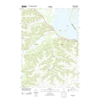
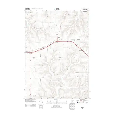
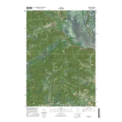
St. Charles serves as the primary hub in this portion of southeast Minnesota, where the drainage of the S Fork Whitewater River carves through the terrain. The landscape is defined by the transition from the upland plateaus near Dover to the more dissected valleys of the driftless area to the south and east. Along the southern edge, the settlement of Saratoga sits near the headwaters of Trout Run and Money Cr, illustrating how early pioneer roads followed the high ridges between these stream systems.
Find a feature on this map
51 named features on this map. Tap any name to fly to it.
Don’t see what you’re looking for? This feature index may not catch every label — zoom into the map to look around manually.
Map Details
Editions of this 2022 Saint Charles Map
This is the sole edition of this map. No revisions or reprints were ever made.
Historical Maps of Dover Through Time
36 maps found
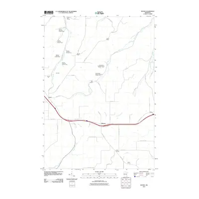
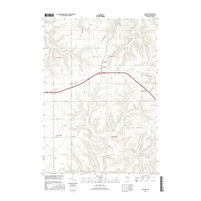
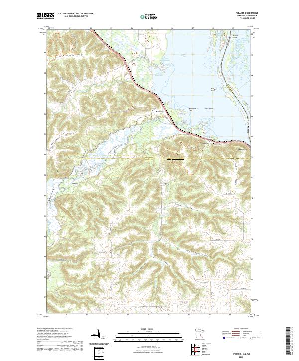
1972 Weaver
Winona County, MN
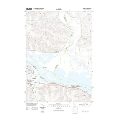
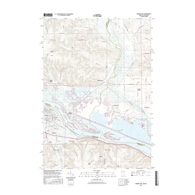
1972 Winona East
Winona County, MN
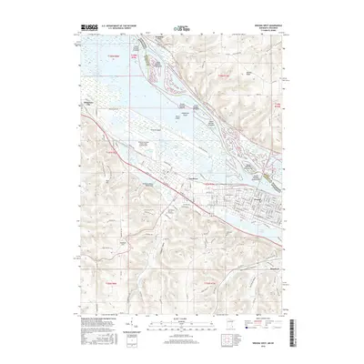
1972 Winona West
Winona County, MN
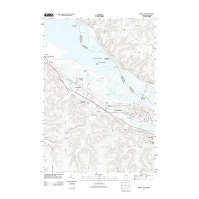
1974 St Charles
Winona County, MN
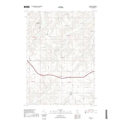
1980 Wilson
Winona County, MN
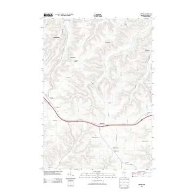
1980 Witoka
Winona County, MN
2010 Saint Charles
Winona County, MN
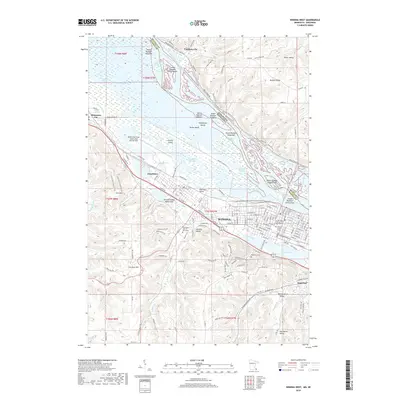
2010 Wilson
Winona County, MN
2010 Witoka
Winona County, MN
2011 Weaver
Winona County, MN
2011 Winona East
Winona County, MN
2011 Winona West
Winona County, MN
2013 Saint Charles
Winona County, MN
2013 Weaver
Winona County, MN
2013 Wilson
Winona County, MN
2013 Winona East
Winona County, MN
2013 Winona West
Winona County, MN
2013 Witoka
Winona County, MN
2016 Saint Charles
Winona County, MN
2016 Weaver
Winona County, MN
2016 Wilson
Winona County, MN
2016 Winona East
Winona County, MN
2016 Winona West
Winona County, MN
2016 Witoka
Winona County, MN
2019 Saint Charles
Winona County, MN
2019 Weaver
Winona County, MN
2019 Wilson
Winona County, MN
2019 Winona East
Winona County, MN
2019 Winona West
Winona County, MN
2019 Witoka
Winona County, MN
2022 Saint Charles
Winona County, MN
2022 Weaver
Winona County, MN
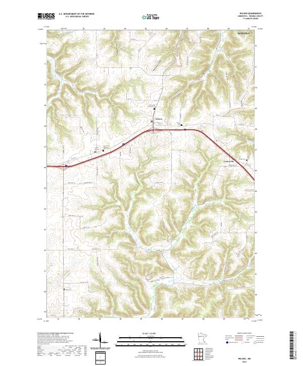
2022 Wilson
Winona County, MN
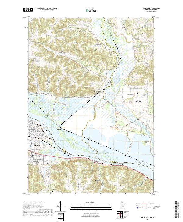
2022 Winona East
Winona County, MN
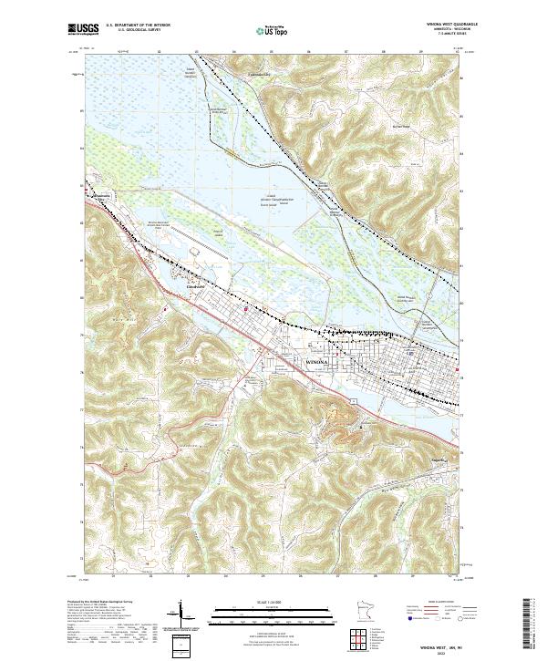
2022 Winona West
Winona County, MN
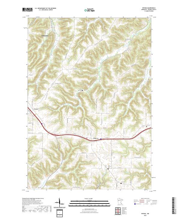
2022 Witoka
Winona County, MN