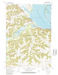
1972 Map of Weaver
USGS Topo · Published 1986About this map
Whitewater River and the Mississippi River converge in this riverfront landscape, where the flat valley floors meet the steep bluffs of Rattlesnake Ridge and Hosier Ridge. The 1972 survey records the tiny river settlements of Weaver and Minneiska as they existed along the Chicago Milwaukee St Paul and Pacific rail line. This area is heavily defined by conservation, with the Minnesota Memorial Hardwood State Forest covering the upland ridges and the Upper Mississippi River Wild Life and Fish Refuge spanning the backwaters and Dorer Pools. Family and local history can be traced through sites like Young Cem and St Marys Cem, while topographic names like Adams Valley and Selke Valley suggest the early agricultural patterns of the coulee country.
Find a feature on this map
28 named features on this map. Tap any name to fly to it.
Don’t see what you’re looking for? This feature index may not catch every label — zoom into the map to look around manually.
Map Details
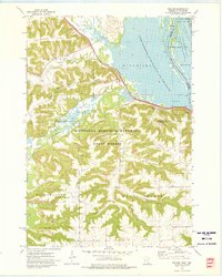
Editions of this 1972 Weaver Map
2 editions found
Other maps of this area

1932 · Cochrane
USGS Topo · 1:62,500

1932 · Wabasha
USGS Topo · 1:62,500

1932 · Alma
USGS Topo · 1:62,500

1934 · Plainview
USGS Topo · 1:62,500

1934 · Cochrane
USGS Topo · 1:62,500

1937 · Cochrane
USGS Topo · 1:62,500

1938 · Plainview
USGS Topo · 1:62,500

1950 · Alma
USGS Topo · 1:62,500

1951 · Wabasha
USGS Topo · 1:62,500

1953 · Saint Paul
USGS Topo · 1:250,000