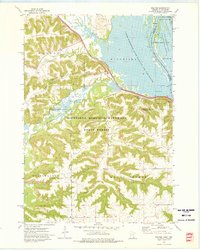
1972 Map of Weaver
USGS Topo · Published 1976About this map
Minnesota Memorial Hardwood State Forest dominates the southern half of this riverfront landscape, where the deeply eroded bluffs of the Driftless Area meet the sprawling channels of the Mississippi River. The settlement of Weaver sits at the foot of these ridges, positioned where the Snake Creek valley opens toward the broad river flats. The transport corridor is defined by the Chicago Milwaukee St Paul and Pacific railroad, which skirts the water's edge below Wato Pa Ridge and Rattlesnake Ridge.
Find a feature on this map
35 named features on this map. Tap any name to fly to it.
Don’t see what you’re looking for? This feature index may not catch every label — zoom into the map to look around manually.
Map Details
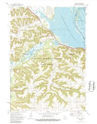
Editions of this 1972 Weaver Map
2 editions found
Other maps of this area

1932 · Cochrane
USGS Topo · 1:62,500

1932 · Wabasha
USGS Topo · 1:62,500

1932 · Alma
USGS Topo · 1:62,500

1934 · Plainview
USGS Topo · 1:62,500

1934 · Cochrane
USGS Topo · 1:62,500

1937 · Cochrane
USGS Topo · 1:62,500

1938 · Plainview
USGS Topo · 1:62,500

1950 · Alma
USGS Topo · 1:62,500

1951 · Wabasha
USGS Topo · 1:62,500

1953 · Saint Paul
USGS Topo · 1:250,000