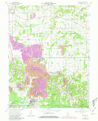
1961 Map of Winslow
USGS Topo · Published 1981About this map
Winslow serves as the primary hub along the south-flowing Patoka River, with the Southern railroad line cutting through the town’s center. This landscape in Pike County is heavily shaped by industrial history, with extensive strip mine operations and oil wells dotting the terrain between Algiers and Ayrshire. The map reveals a high density of family and community burial grounds, such as Oak Hill Cem, McClure Cem, and the poignantly named Strip Mine Cem, which sit adjacent to large conservation areas like the Patoka State Fish and Wildlife Area. The road network, including the Forty Dollar Road and Iron Bridge Road, connects scattered rural settlements and churches like Mt Olive Ch and Brenton Chapel, illustrating the 20th-century balance between resource extraction and the established agrarian social fabric of southern Indiana.
Find a feature on this map
49 named features on this map. Tap any name to fly to it.
Don’t see what you’re looking for? This feature index may not catch every label — zoom into the map to look around manually.
Map Details
Editions of this 1961 Winslow Map
Other maps of this area

1902 · Ditney
USGS Topo · 1:125,000

1903 · Velpen
USGS Topo · 1:62,500

1903 · Petersburg
USGS Topo · 1:62,500

1944 · Glendale
USGS Topo · 1:24,000

1944 · Monroe City
USGS Topo · 1:24,000

1945 · Sandy Hook
USGS Topo · 1:24,000

1956 · Vincennes
USGS Topo · 1:250,000

1957 · Vincennes
USGS Topo · 1:250,000

1958 · Vincennes
USGS Topo · 1:250,000
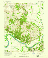
1958 · Monroe City
USGS Topo · 1:24,000