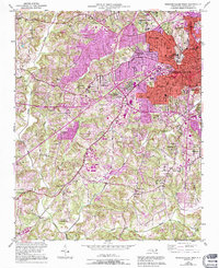
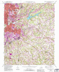
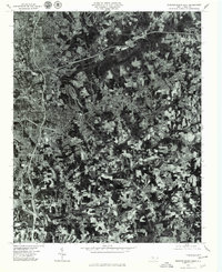
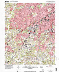
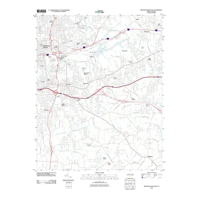
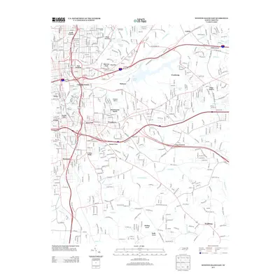
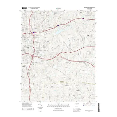
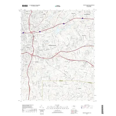
1950 Map of Winston-Salem West
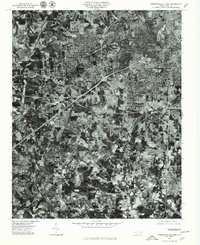
USGS Topo · Published 1994About this map
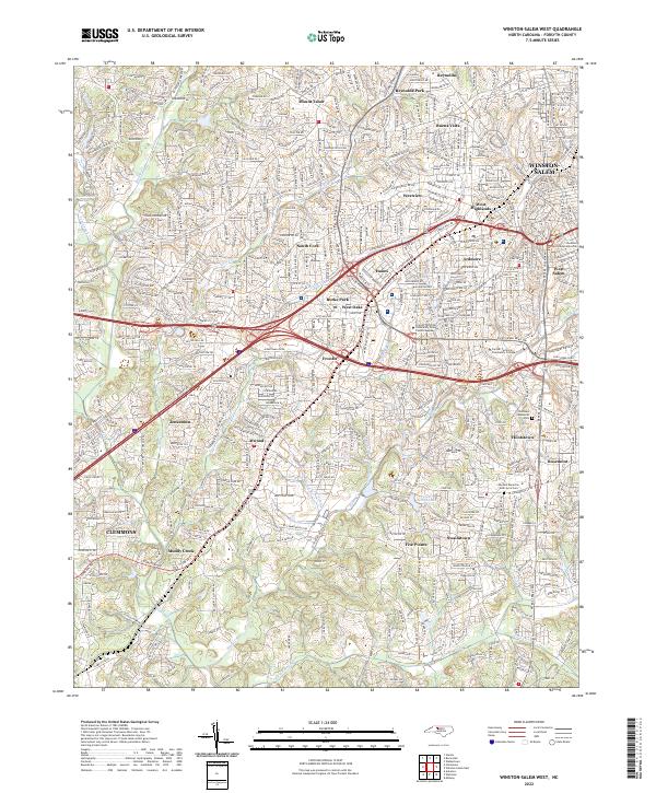
Winston-Salem transitions from a concentrated urban center into a network of residential and industrial expansions in this mid-century survey. The landscape is defined by the winding course of Muddy Creek and its tributaries, which separate the dense neighborhoods of Ardmore and West Highlands from the outlying settlements of Clemmons and Jonestown. The prominent presence of Baptist Hospital and Reynolds High Sch reflects the city's growth as a regional hub for health and education.
Find a feature on this map
51 named features on this map. Tap any name to fly to it.
Don’t see what you’re looking for? This feature index may not catch every label — zoom into the map to look around manually.
Map Details
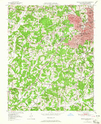
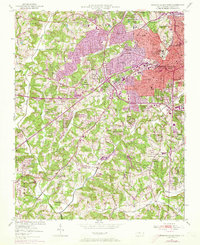
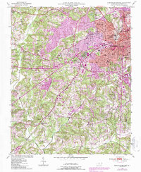
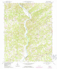
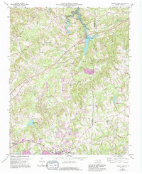
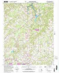
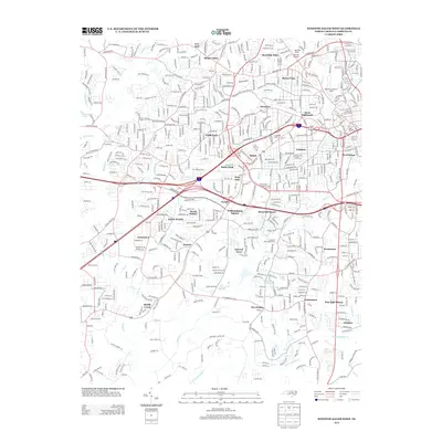
Editions of this 1950 Winston-Salem West Map
4 editions found
Historical Maps of Winston-Salem Through Time
33 maps found
1950 Winston-Salem East
Forsyth County, NC
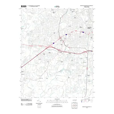
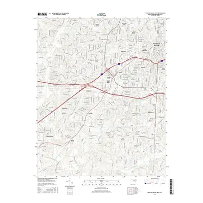
1950 Winston-Salem West
Forsyth County, NC

1951 Winston-Salem East
Forsyth County, NC

1951 Winston-Salem West
Forsyth County, NC
1968 Vienna
Forsyth County, NC
1969 Belews Creek
Forsyth County, NC
1977 Belews Creek
Forsyth County, NC
1977 Winston-Salem East
Forsyth County, NC
1977 Winston-Salem West
Forsyth County, NC
1997 Vienna
Forsyth County, NC
1997 Winston-Salem East
Forsyth County, NC
1997 Winston-Salem West
Forsyth County, NC
2000 Belews Creek
Forsyth County, NC
2010 Belews Creek
Forsyth County, NC
2010 Vienna
Forsyth County, NC
2010 Winston-Salem East
Forsyth County, NC
2010 Winston-Salem West
Forsyth County, NC
2013 Belews Creek
Forsyth County, NC
2013 Vienna
Forsyth County, NC
2013 Winston-Salem East
Forsyth County, NC
2013 Winston-Salem West
Forsyth County, NC
2016 Belews Creek
Forsyth County, NC
2016 Vienna
Forsyth County, NC
2016 Winston-Salem East
Forsyth County, NC
2016 Winston-Salem West
Forsyth County, NC
2019 Belews Creek
Forsyth County, NC
2019 Vienna
Forsyth County, NC
2019 Winston-Salem East
Forsyth County, NC
2019 Winston-Salem West
Forsyth County, NC
2022 Belews Creek
Forsyth County, NC
2022 Winston-Salem East
Forsyth County, NC
2022 Winston-Salem West
Forsyth County, NC
2023 Vienna
Forsyth County, NC
Featured Locations
- Clemmons, NC
- Echo Bluff Trailer Park, NC
- Winston-Salem, NC
- South Fork, Winston-Salem
- West Highlands, Winston-Salem