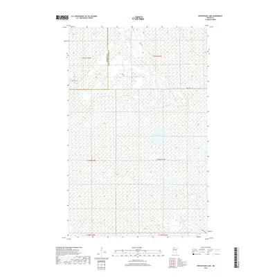
2019 Map of Winter Road Lake
USGS Topo · Published 2019About this map
Winter Road Lake sits at the center of this remote northern landscape, marking a significant water body within the wetlands that define the border between Roseau and Lake of the Woods counties. The terrain is characterized by a dense network of marshes and low-lying ground, typical of the Minnesota bog country. Human presence is primarily defined by a series of primitive routes and forest roads that cut through the landscape, such as Krull Trl, Carps Trl, and Cole Forest Rd. These tracks provide the primary access to the interior for conservation and recreation, while Nelson Trl SW skirts the southern reaches. The map documents the intricate sectional boundaries and township lines, providing a detailed view of the Public Land Survey System in this relatively undeveloped corner of the state.
Find a feature on this map
12 named features on this map. Tap any name to fly to it.
Don’t see what you’re looking for? This feature index may not catch every label — zoom into the map to look around manually.
Map Details
Editions of this 2019 Winter Road Lake Map
This is the sole edition of this map. No revisions or reprints were ever made.
Other maps of this area

1918 · Winterroad
USGS Topo · 1:62,500

1918 · Roosevelt
USGS Topo · 1:62,500

1918 · Williams
USGS Topo · 1:62,500

1919 · Peppermint Creek
USGS Topo · 1:62,500

1943 · Peppermint Creek
USGS Topo · 1:62,500

1943 · Roosevelt
USGS Topo · 1:62,500

1954 · Roseau
USGS Topo · 1:250,000

1957 · Roseau
USGS Topo · 1:250,000

1958 · Roseau
USGS Topo · 1:250,000

1967 · Williams
USGS Topo · 1:24,000