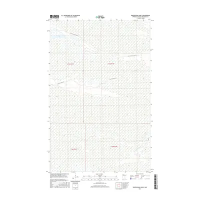
2016 Map of Winter Road Lake SE
USGS Topo · Published 2016About this map
Browns Lake sits at the northern edge of this wet, forested landscape in Lake of the Woods County. The 2016 survey illustrates a region defined by extensive wetlands and natural watercourses, including the winding Rapid River and its tributary, Meadow Cr. Human presence is marked primarily by specialized forestry and access routes that cut through the terrain. Notable among these are Faunce Butterfield Forest Rd and Hogsback Obrien Rd Sw, which follow higher ground or established corridors through the marshy environment. The map provides a contemporary look at this northern Minnesota wilderness, documenting the specific forest trails like Spina Trl that serve as the primary infrastructure for this sparsely populated area near the Canadian border.
Find a feature on this map
10 named features on this map. Tap any name to fly to it.
Don’t see what you’re looking for? This feature index may not catch every label — zoom into the map to look around manually.
Map Details
Editions of this 2016 Winter Road Lake SE Map
This is the sole edition of this map. No revisions or reprints were ever made.
Other maps of this area

1918 · Winterroad
USGS Topo · 1:62,500

1918 · F
USGS Topo · 1:62,500

1919 · Peppermint Creek
USGS Topo · 1:62,500

1919 · G
USGS Topo · 1:62,500

1943 · Peppermint Creek
USGS Topo · 1:62,500

1954 · Roseau
USGS Topo · 1:250,000

1957 · Roseau
USGS Topo · 1:250,000

1958 · Roseau
USGS Topo · 1:250,000
1968 · Graceton NW
USGS Topo · 1:24,000
1968 · Winter Road Lake
USGS Topo · 1:24,000