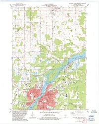
2022 Map of Wisconsin Rapids South
USGS Topo · Published 2022About this map
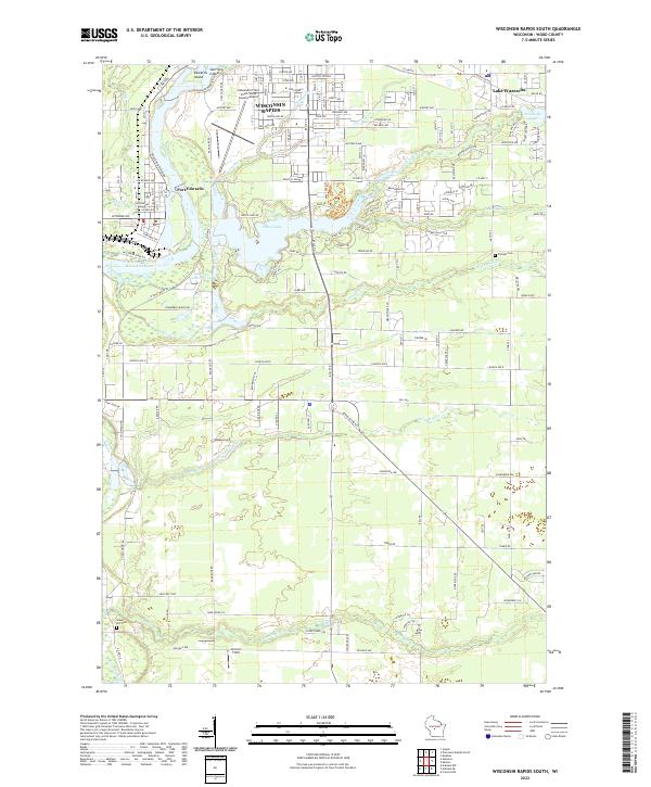
Nepco Lake and the Wisconsin River dominate this Central Wisconsin landscape, where the southern outskirts of Wisconsin Rapids meet the industrial and residential hub of Port Edwards. The waterway is dotted with landmarks such as Garrison Island and Edwards Island, while a series of numbered east-west creeks—Twomile Cr, Fourmile Cr, Fivemile Cr, Sevenmile Creek, and Tenmile Cr—create a distinct drainage pattern across the region. Local history is anchored by sites like Pioneer Cem and Green Hill Cem. The presence of the Alexander Field South Wood County Airport and recreational areas like Lake Wazeecha reflect the area's development as a regional center for both transit and tourism.
Find a feature on this map
91 named features on this map. Tap any name to fly to it.
Don’t see what you’re looking for? This feature index may not catch every label — zoom into the map to look around manually.
Map Details
Editions of this 2022 Wisconsin Rapids South Map
This is the sole edition of this map. No revisions or reprints were ever made.
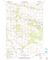
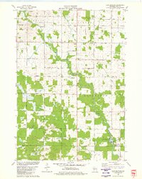
Historical Maps of Sunset Point at NEPCO Lake Through Time
18 maps found
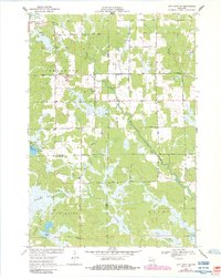
1970 City Point NE
Wood County, WI

1970 City Point
Wood County, WI
1970 Sherry
Wood County, WI
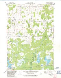
1979 Lake Manakiki
Wood County, WI
1979 Lindsey
Wood County, WI
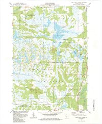
1984 Lake Dexter
Wood County, WI
1984 Quail Point Flowage
Wood County, WI
1984 Wisconsin Rapids North
Wood County, WI

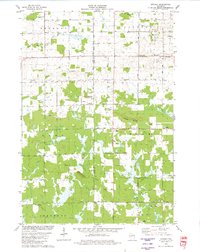
1984 Wisconsin Rapids South
Wood County, WI
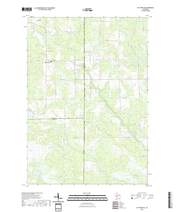
2022 City Point NE
Wood County, WI
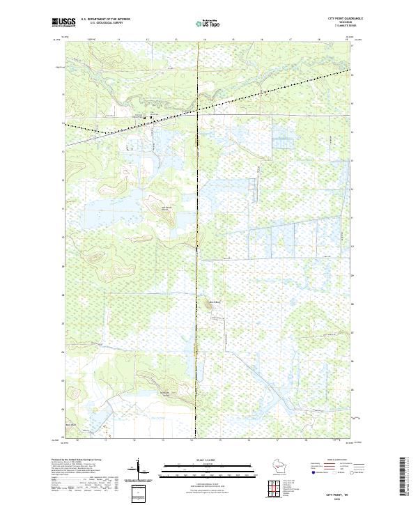
2022 City Point
Wood County, WI
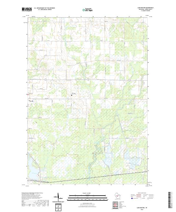
2022 Lake Dexter
Wood County, WI
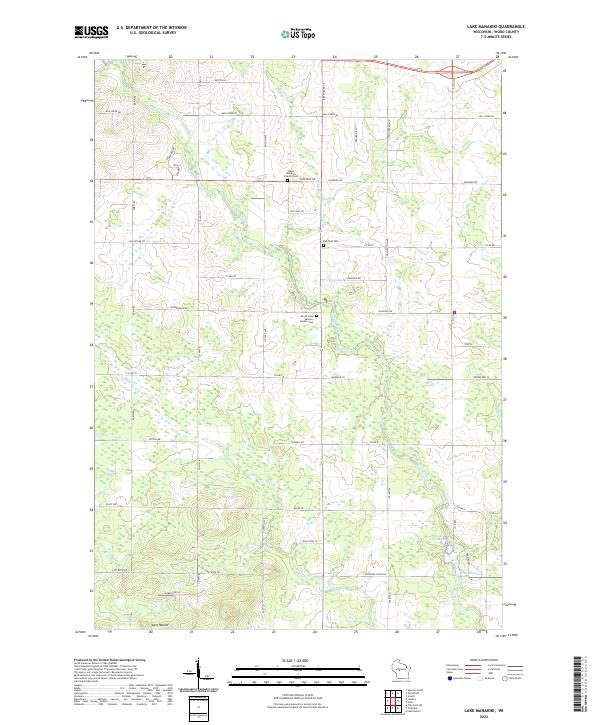
2022 Lake Manakiki
Wood County, WI
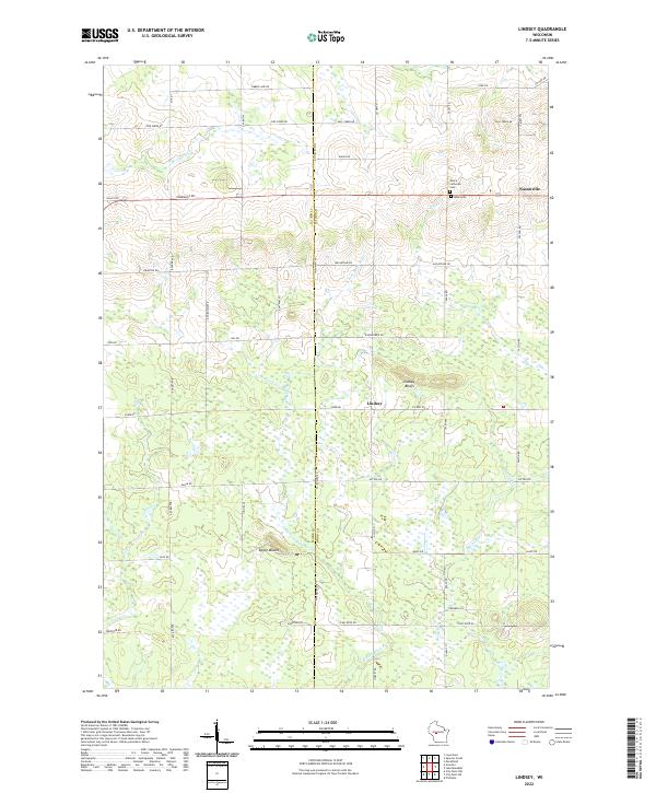
2022 Lindsey
Wood County, WI
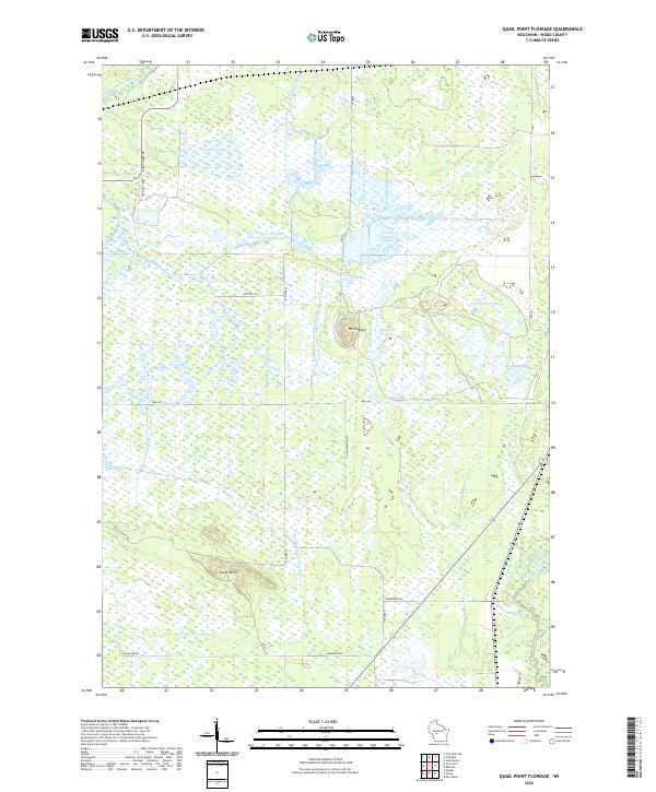
2022 Quail Point Flowage
Wood County, WI
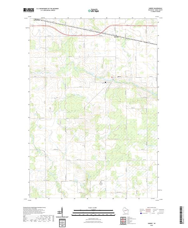
2022 Sherry
Wood County, WI
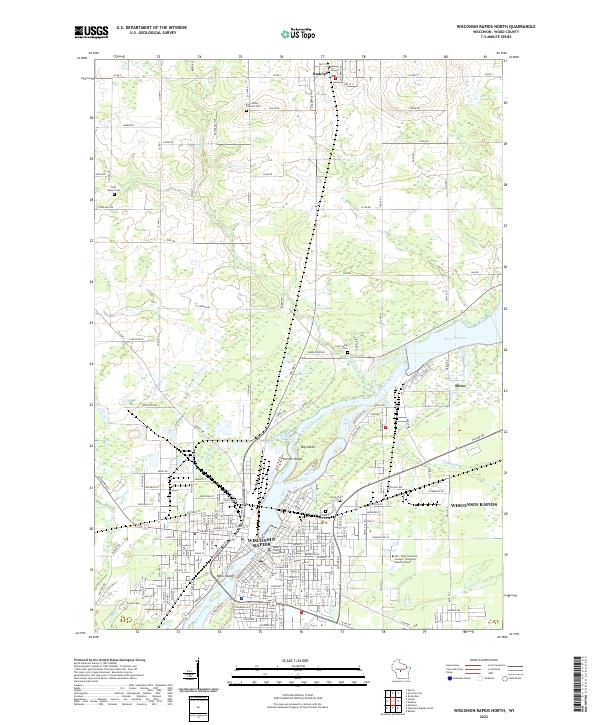
2022 Wisconsin Rapids North
Wood County, WI
2022 Wisconsin Rapids South
Wood County, WI