2024 Map of Wisdom
USGS Topo · Published 2024About this map
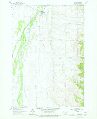
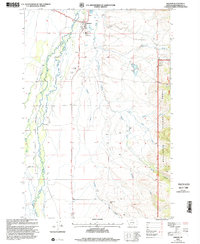
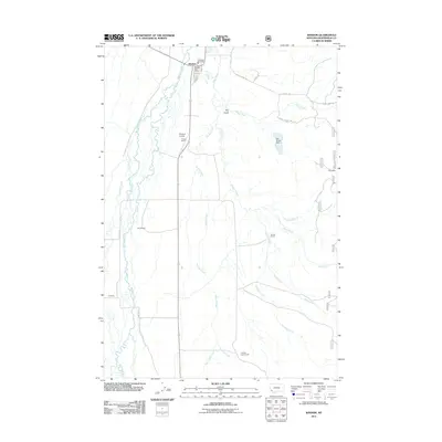
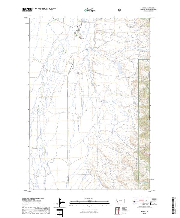
The town of Wisdom serves as the central hub of this modern survey, situated in the Big Hole Valley where the high-altitude ranching landscape meets the rising terrain of the Pioneer Mountains. The settlement layout is defined by Main St and Old Hwy, with the Wisdom Airport positioned just to the south. The surrounding basin is a complex network of natural waterways and early 20th-century irrigation infrastructure, including the Big Hole River, Big Lake Creek, and man-made channels like Miller Ditch and Huntley Ditch. To the east, the map transitions from the flat valley floor into the protected timberlands of the Beaverhead National Forest. This map documents the persistent agricultural and mountain-gateway character of the Big Hole region, showing the intersection of local roads such as Steel Creek Rd and Rock Creek Rd against a backdrop of steep peaks and drainage gulches.
Find a feature on this map
32 named features on this map. Tap any name to fly to it.
Don’t see what you’re looking for? This feature index may not catch every label — zoom into the map to look around manually.
Map Details
Editions of this 2024 Wisdom Map
This is the sole edition of this map. No revisions or reprints were ever made.
Historical Maps of Wisdom Through Time
8 maps found