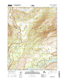
2016 Map of Wiseman A-3 SW
USGS Topo · Published 2016About this map
The Koyukuk River winds through the southern reaches of this interior Alaska landscape, serving as a primary hydrological corridor in the Yukon-Koyukuk region. In the northern and western sections, the Wild River and its tributaries, including Death Valley Cr, demonstrate the drainage patterns typical of this subarctic terrain before joining larger systems to the south. The map illustrates a remote wilderness defined by water and land divisions, where Mud Creek and Hackett Cr define smaller drainages in the east. The township and range lines, such as t26n r18w and t27n r17w, provide the only human-imposed structure on an otherwise vast, undeveloped expanse of the Alaskan interior as it appeared in the early twenty-first century.
Find a feature on this map
12 named features on this map. Tap any name to fly to it.
Don’t see what you’re looking for? This feature index may not catch every label — zoom into the map to look around manually.
Map Details
Editions of this 2016 Wiseman A-3 SW Map
This is the sole edition of this map. No revisions or reprints were ever made.
Other maps of this area

1951 · Bettles
USGS Topo · 1:250,000

1951 · Wiseman
USGS Topo · 1:250,000

1956 · Bettles
USGS Topo · 1:250,000

1956 · Wiseman
USGS Topo · 1:250,000

1964 · Wiseman
USGS Topo · 1:250,000

1970 · Bettles D-4
USGS Topo · 1:63,360

1970 · Wiseman A-4
USGS Topo · 1:63,360

1970 · Wiseman A-3
USGS Topo · 1:63,360

1970 · Bettles D-3
USGS Topo · 1:63,360
2016 · Wiseman A-3 NW
USGS Topo · 1:25,000