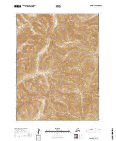
2017 Map of Wiseman B-1 SW
USGS Topo · Published 2017About this map
Gates Of The Arctic National Park defines this section of the Brooks Range, encompassing high-elevation terrain and a network of glacial and snowmelt-fed streams. The prominence of Emma Dome serves as a central landmark for the surrounding drainage basins. This interior Alaskan landscape is characterized by a high density of named watercourses, including the Upper Fork Twelvemile Cr, Quartz Cr, and Emma Cr. These waterways trace the deep valleys between unnamed ridges, illustrating the complex hydrology of the Yukon-Koyukuk region. The map provides a look at the wilderness before significant anthropogenic changes, documenting the natural drainage patterns of LaSalle Cr and Moose Cr near the northern boundary. The lack of road infrastructure or permanent settlements highlights the protected status and isolation of this high-latitude environment.
Find a feature on this map
13 named features on this map. Tap any name to fly to it.
Don’t see what you’re looking for? This feature index may not catch every label — zoom into the map to look around manually.
Map Details
Editions of this 2017 Wiseman B-1 SW Map
This is the sole edition of this map. No revisions or reprints were ever made.
Other maps of this area

1951 · Wiseman
USGS Topo · 1:250,000

1956 · Wiseman
USGS Topo · 1:250,000

1964 · Wiseman
USGS Topo · 1:250,000

1970 · Wiseman A-1
USGS Topo · 1:63,360

1970 · Wiseman A-2
USGS Topo · 1:63,360
1971 · Wiseman B-1
USGS Topo · 1:63,360
1971 · Wiseman B-2
USGS Topo · 1:63,360
2017 · Wiseman A-2 NE
USGS Topo · 1:25,000
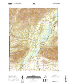
2017 · Wiseman A-1 NW
USGS Topo · 1:25,000
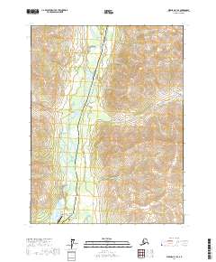
2017 · Wiseman B-1 SE
USGS Topo · 1:25,000