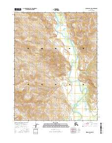
2016 Map of Wiseman B-5 NE
USGS Topo · Published 2016About this map
The John River valley defines this sub-Arctic corridor, winding through a landscape shaped by the Brooks Range. As it flows south through the quadrangle, the river is joined by several tributaries including Gunsight Cr and Bar Cr. This 2016 survey illustrates the complex drainage patterns of the region, where seasonal flow from high peaks feeds into the John River and the Allen River at the southern edge.
Find a feature on this map
11 named features on this map. Tap any name to fly to it.
Don’t see what you’re looking for? This feature index may not catch every label — zoom into the map to look around manually.
Map Details
Editions of this 2016 Wiseman B-5 NE Map
This is the sole edition of this map. No revisions or reprints were ever made.
Other maps of this area

1951 · Wiseman
USGS Topo · 1:250,000

1956 · Wiseman
USGS Topo · 1:250,000

1964 · Wiseman
USGS Topo · 1:250,000

1971 · Wiseman C-4
USGS Topo · 1:63,360

1971 · Wiseman C-5
USGS Topo · 1:63,360
1971 · Wiseman B-5
USGS Topo · 1:63,360
1971 · Wiseman B-4
USGS Topo · 1:63,360
2016 · Wiseman C-5 SW
USGS Topo · 1:25,000
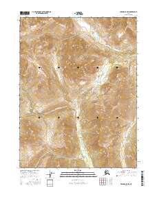
2016 · Wiseman B-5 SW
USGS Topo · 1:25,000
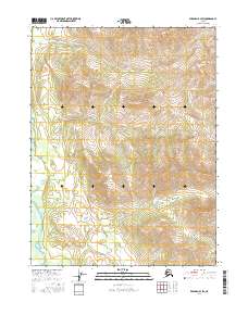
2016 · Wiseman B-4 SW
USGS Topo · 1:25,000