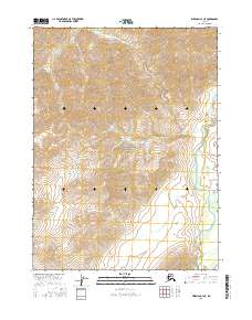
2016 Map of Wiseman C-3 NE
USGS Topo · Published 2016About this map
Gates of the Arctic National Park encompasses nearly the entire landscape of this 2016 survey, reflecting a massive wilderness preserved in the Brooks Range. The North Fork Koyukuk River flows southward along the eastern boundary, serving as a primary hydrological artery for this remote arctic ecosystem. The terrain is defined by extreme relief and glacial carving, exemplified by the prominent Eroded Mtn in the southeastern quadrant. Tributaries such as Cladonia Cr, Pass Cr, and Redstar Cr drain the high slopes, forming a network of steep valleys and braided streams. This map documents a region almost entirely devoid of human infrastructure, focusing instead on the pristine natural boundaries and township lines of the Yukon-Koyukuk region.
Find a feature on this map
13 named features on this map. Tap any name to fly to it.
Don’t see what you’re looking for? This feature index may not catch every label — zoom into the map to look around manually.
Map Details
Editions of this 2016 Wiseman C-3 NE Map
This is the sole edition of this map. No revisions or reprints were ever made.
Other maps of this area

1951 · Wiseman
USGS Topo · 1:250,000

1956 · Wiseman
USGS Topo · 1:250,000

1964 · Wiseman
USGS Topo · 1:250,000

1971 · Wiseman C-2
USGS Topo · 1:63,360
1971 · Wiseman D-2
USGS Topo · 1:63,360
1971 · Wiseman D-3
USGS Topo · 1:63,360
1971 · Wiseman C-3
USGS Topo · 1:63,360
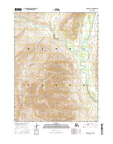
2016 · Wiseman C-3 SE
USGS Topo · 1:25,000
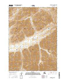
2016 · Wiseman D-3 SE
USGS Topo · 1:25,000
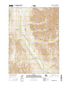
2016 · Wiseman C-3 NW
USGS Topo · 1:25,000