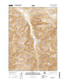
2016 Map of Wiseman C-5 NE
USGS Topo · Published 2016About this map
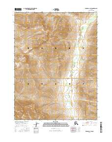
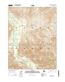
Gates Of The Arctic National Park encompasses this entire northern terrain, documenting a remote stretch of the Brooks Range in the Yukon-Koyukuk region. The topographic survey is dominated by the north-south drainage of Mashooshalluk Cr, which carves through a series of steep ridges and high-elevation basins. The map provides a detailed view of the natural water systems before they reach larger river tributaries, showing the intricate network of seasonal streams feeding the main creek. Published by the U.S. Geological Survey, this 2016 edition serves as a precise record of the unpopulated wilderness, defined by contour lines and hydrographic data rather than roads or settlements. It captures the pristine state of the park's interior, useful for understanding the drainage patterns and landforms of this protected arctic landscape.
Find a feature on this map
8 named features on this map. Tap any name to fly to it.
Don’t see what you’re looking for? This feature index may not catch every label — zoom into the map to look around manually.
Map Details
Editions of this 2016 Wiseman C-5 NE Map
This is the sole edition of this map. No revisions or reprints were ever made.
Other maps of this area

1951 · Wiseman
USGS Topo · 1:250,000

1956 · Wiseman
USGS Topo · 1:250,000

1964 · Wiseman
USGS Topo · 1:250,000

1971 · Wiseman C-4
USGS Topo · 1:63,360
1971 · Wiseman D-4
USGS Topo · 1:63,360

1971 · Wiseman C-5
USGS Topo · 1:63,360
1971 · Wiseman D-5
USGS Topo · 1:63,360
2016 · Wiseman C-5 SW
USGS Topo · 1:25,000
2016 · Wiseman C-4 SW
USGS Topo · 1:25,000
2016 · Wiseman C-5 SE
USGS Topo · 1:25,000