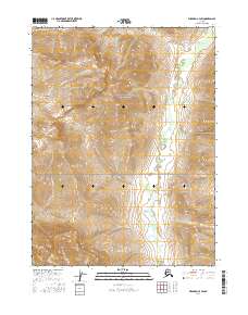
2016 Map of Wiseman C-4 SW
USGS Topo · Published 2016About this map
Gates Of The Arctic National Park encompasses the entirety of this interior Alaskan landscape, documenting a vast wilderness where drainage patterns dictate the movement of water across high-altitude terrain. The Allen River dominates the eastern corridor, winding through a broad valley floor characterized by numerous small ponds and braided channels. This hydrological network is fed by several primary tributaries, including Saint Louis Cr in the northeast and Sheep Cr and Bur Cr to the south.
Find a feature on this map
10 named features on this map. Tap any name to fly to it.
Don’t see what you’re looking for? This feature index may not catch every label — zoom into the map to look around manually.
Map Details
Editions of this 2016 Wiseman C-4 SW Map
This is the sole edition of this map. No revisions or reprints were ever made.
Other maps of this area

1951 · Wiseman
USGS Topo · 1:250,000

1956 · Wiseman
USGS Topo · 1:250,000

1964 · Wiseman
USGS Topo · 1:250,000

1971 · Wiseman C-4
USGS Topo · 1:63,360

1971 · Wiseman C-5
USGS Topo · 1:63,360
1971 · Wiseman B-5
USGS Topo · 1:63,360
1971 · Wiseman B-4
USGS Topo · 1:63,360
2016 · Wiseman C-5 NE
USGS Topo · 1:25,000
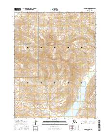
2016 · Wiseman C-4 SE
USGS Topo · 1:25,000
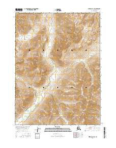
2016 · Wiseman C-4 NE
USGS Topo · 1:25,000