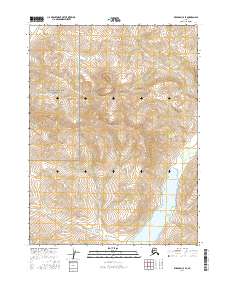
2016 Map of Wiseman C-4 SE
USGS Topo · Published 2016About this map
Gates Of The Arctic National Park encompasses the western portion of this Brooks Range landscape, where the high-altitude terrain of Sirr Mtn dominates the central topography. This 2016 survey illustrates a roadless wilderness defined by glacial valleys and steep drainage systems. The most prominent water feature is Wild Lake, which extends into the southeastern corner of the quadrangle, collecting flow from numerous alpine tributaries including Surprise Cr and Spring Cr. The drainages of Tobin Cr in the north and Seward Cr in the south trace the natural corridors of the landscape, while Sirr Cr descends from the central mountain mass. The absence of human-made infrastructure or settlements emphasizes the remote character of this protected interior region during the early 21st century.
Find a feature on this map
12 named features on this map. Tap any name to fly to it.
Don’t see what you’re looking for? This feature index may not catch every label — zoom into the map to look around manually.
Map Details
Editions of this 2016 Wiseman C-4 SE Map
This is the sole edition of this map. No revisions or reprints were ever made.
Other maps of this area

1951 · Wiseman
USGS Topo · 1:250,000

1956 · Wiseman
USGS Topo · 1:250,000

1964 · Wiseman
USGS Topo · 1:250,000

1971 · Wiseman C-4
USGS Topo · 1:63,360
1971 · Wiseman B-3
USGS Topo · 1:63,360
1971 · Wiseman C-3
USGS Topo · 1:63,360
1971 · Wiseman B-4
USGS Topo · 1:63,360
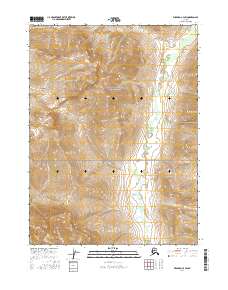
2016 · Wiseman C-4 SW
USGS Topo · 1:25,000
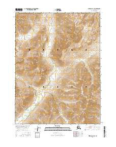
2016 · Wiseman C-4 NE
USGS Topo · 1:25,000
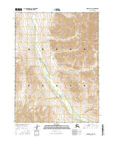
2016 · Wiseman C-3 NW
USGS Topo · 1:25,000