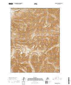
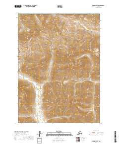
2017 Map of Wiseman D-1 NW
USGS Topo · Published 2017About this map
The Endicott Mountains dominate this high-latitude landscape within the Gates of the Arctic National Park in northern Alaska. This 2017 survey documents a wilderness defined by stark topography and glacial drainage patterns, where elevations rise sharply to peaks like Amawk Mtn and Apoon Mtn. A significant terrestrial corridor is marked by Kinnorutin Pass, which provides a natural transit point between steep ridgelines. The area's hydrology is characterized by numerous seasonal and perennial flows, including Alinement Creek and Saint Patricks Cr, which carve through the rock before feeding into larger regional basins. This map serves as a contemporary record of an interior Alaskan ecosystem where human infrastructure is entirely absent, preserving the names of ancient landforms and waterways like Karillukpuk Cr as they were recognized in the early twenty-first century.
Find a feature on this map
17 named features on this map. Tap any name to fly to it.
Don’t see what you’re looking for? This feature index may not catch every label — zoom into the map to look around manually.
Map Details
Editions of this 2017 Wiseman D-1 NW Map
This is the sole edition of this map. No revisions or reprints were ever made.
Other maps of this area

1951 · Chandler Lake
USGS Topo · 1:250,000

1951 · Wiseman
USGS Topo · 1:250,000

1956 · Wiseman
USGS Topo · 1:250,000

1956 · Chandler Lake
USGS Topo · 1:250,000

1964 · Wiseman
USGS Topo · 1:250,000

1964 · Chandler Lake
USGS Topo · 1:250,000
1971 · Chandler Lake A-1
USGS Topo · 1:63,360
1971 · Wiseman D-2
USGS Topo · 1:63,360
1971 · Wiseman D-1
USGS Topo · 1:63,360
2017 · Wiseman D-1 NE
USGS Topo · 1:25,000