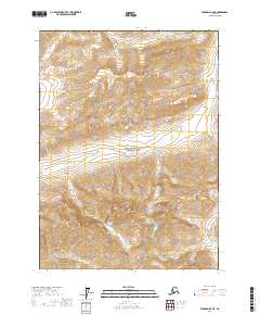
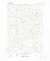
2017 Map of Wiseman D-2 NE
USGS Topo · Published 2017About this map
The N Fork Koyukuk River carves through the center of this remote Brooks Range landscape, located within the protected boundaries of Gates Of The Arctic National Park. High-elevation topography is the defining characteristic of this interior Alaska survey, anchored by prominent peaks such as Mt Doonerak and the aptly named Twoprong Mtn. The drainage system is complex, with Bombardment Cr and Barrenland Cr feeding the primary river valley. Nestled among these ridges is Marshall Lake, a rare body of standing water in a terrain otherwise dominated by sharp divides like Hanging Glacier Mtn and Wien Mtn. This map provides a detailed look at the hydrological and geological features of the Yukon-Koyukuk Census Area during the early 21st century, illustrating the untouched wilderness far north of the Arctic Circle.
Find a feature on this map
20 named features on this map. Tap any name to fly to it.
Don’t see what you’re looking for? This feature index may not catch every label — zoom into the map to look around manually.
Map Details
Editions of this 2017 Wiseman D-2 NE Map
This is the sole edition of this map. No revisions or reprints were ever made.
Other maps of this area

1951 · Chandler Lake
USGS Topo · 1:250,000

1951 · Wiseman
USGS Topo · 1:250,000

1956 · Wiseman
USGS Topo · 1:250,000

1956 · Chandler Lake
USGS Topo · 1:250,000

1964 · Wiseman
USGS Topo · 1:250,000

1964 · Chandler Lake
USGS Topo · 1:250,000
1971 · Chandler Lake A-2
USGS Topo · 1:63,360
1971 · Chandler Lake A-1
USGS Topo · 1:63,360
1971 · Wiseman D-2
USGS Topo · 1:63,360
1971 · Wiseman D-1
USGS Topo · 1:63,360