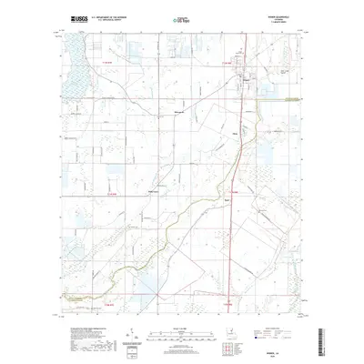
2020 Map of Wisner
USGS Topo · Published 2020About this map
Wisner anchors this survey of northeastern Louisiana, where the border between Franklin Parish and Catahoula Parish cuts through a landscape defined by an intricate network of waterways and agricultural drainage. The town of Wisner is laid out with a clear street grid including Magnolia St and Natchez St, serving as a central hub for outlying settlements like Metropolis and Elam. To the west, Turkey Creek Lake sits among the wetlands, while the center of the map is dominated by the meandering paths of Brushey Bayou and Black Bayou.
Find a feature on this map
71 named features on this map. Tap any name to fly to it.
Don’t see what you’re looking for? This feature index may not catch every label — zoom into the map to look around manually.
Map Details
Editions of this 2020 Wisner Map
This is the sole edition of this map. No revisions or reprints were ever made.
Other maps of this area

1935 · Winnsboro
USGS Topo · 1:62,500

1939 · Fort Necessity
USGS Topo · 1:62,500

1941 · Sicily Island
USGS Topo · 1:62,500

1941 · Harrisonburg
USGS Topo · 1:62,500

1953 · Natchez
USGS Topo · 1:250,000

1955 · Jackson
USGS Topo · 1:250,000

1956 · Natchez
USGS Topo · 1:250,000

1957 · Sicily Island
USGS Topo · 1:62,500

1958 · Winnsboro
USGS Topo · 1:62,500

1958 · Fort Necessity
USGS Topo · 1:62,500