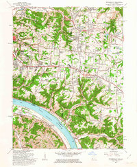
1961 Map of Withamsville
USGS Topo · Published 1963About this map
The Ohio River serves as the prominent geographic and political divide in this early 1960s survey, separating Campbell County, Kentucky, from the suburbanizing landscape of Hamilton and Clermont Counties in Ohio. The riverfront is defined by the Chesapeake and Ohio railroad corridor and the small community of Melbourne, while the Ohio side reflects the rapid post-war expansion of Cincinnati’s eastern suburbs. Planned residential developments such as Sherwood Village, Paddison Hills, and Viking Village are carved into the plateau above the river's deep tributary valleys.
Find a feature on this map
88 named features on this map. Tap any name to fly to it.
Don’t see what you’re looking for? This feature index may not catch every label — zoom into the map to look around manually.
Map Details
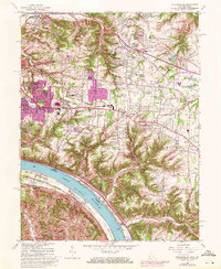
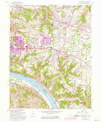
Editions of this 1961 Withamsville Map
3 editions found
Other maps of this area

1898 · East Cincinnati
USGS Topo · 1:62,500

1914 · East Cincinnati
USGS Topo · 1:62,500

1914 · Batavia
USGS Topo · 1:48,000

1916 · Batavia
USGS Topo · 1:62,500

1929 · Alexandria
USGS Topo · 1:48,000

1931 · Felicity
USGS Topo · 1:62,500

1936 · Alexandria
USGS Topo · 1:62,500

1952 · Newport
USGS Topo · 1:24,000

1953 · Laurel
USGS Topo · 1:24,000

1953 · Withamsville
USGS Topo · 1:24,000