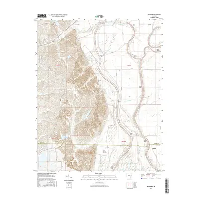
2017 Map of Wittsburg
USGS Topo · Published 2017About this map
Wittsburg and Levesque anchor this survey of the Arkansas Delta, where the landscape is defined by the complex hydrology of the Saint Francis River and the Saint Francis Floodway. The transition from the elevated ridge land near Lake Dunn and Lake Austell to the low-lying river bottoms creates a terrain marked by numerous sloughs and lakes, including Big Bear Lake and Horseshoe Lake. The river's winding path is evidenced by distinctive features like Wittsburg Island, Johnson Bend, and Short Bend, illustrating the historical movement of the water across the floodplain. Local history is grounded in the presence of Saint Marks Cem and Walters Cem, while the small settlement of Kinton sits near the crossing into St. Francis County. This map provides a detailed view of the modern road network, from local county routes to the Clark Corner Cutoff, alongside the natural drainage patterns of Copperas Cr and Cane Cr.
Find a feature on this map
76 named features on this map. Tap any name to fly to it.
Don’t see what you’re looking for? This feature index may not catch every label — zoom into the map to look around manually.
Map Details
Editions of this 2017 Wittsburg Map
This is the sole edition of this map. No revisions or reprints were ever made.
Other maps of this area

1939 · Vanndale
USGS Topo · 1:62,500

1939 · Wynne
USGS Topo · 1:62,500

1940 · Princedale
USGS Topo · 1:62,500

1940 · Whitmore
USGS Topo · 1:62,500

1953 · Memphis
USGS Topo · 1:250,000

1956 · Memphis
USGS Topo · 1:250,000

1956 · Whitmore
USGS Topo · 1:62,500

1956 · Princedale
USGS Topo · 1:62,500

1958 · Wynne
USGS Topo · 1:62,500

1958 · Vanndale
USGS Topo · 1:62,500