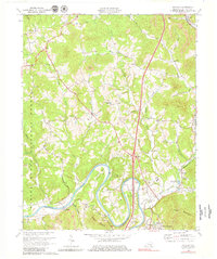
1969 Map of Wofford
USGS Topo · Published 1979About this map
The Cumberland River carves dramatic loops through Whitley County, defining the landscape of Prewitt Bend and Croley Bend. This 1969 revision captures a region transitioning between rural agrarian life and modern infrastructure, evidenced by the Williamsburg-Cumberland Falls Airport situated north of the river. The southern portion of the map is anchored by the northern outskirts of Williamsburg, including the Highland Park area and the County High Sch.
Find a feature on this map
51 named features on this map. Tap any name to fly to it.
Don’t see what you’re looking for? This feature index may not catch every label — zoom into the map to look around manually.
Map Details
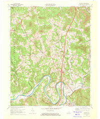
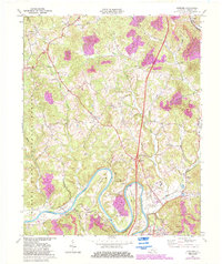
Editions of this 1969 Wofford Map
3 editions found
Other maps of this area

1890 · Williamsburg
USGS Topo · 1:125,000

1894 · Williamsburg
USGS Topo · 1:125,000

1952 · Corbin
USGS Topo · 1:24,000

1952 · Wofford
USGS Topo · 1:24,000

1952 · Vox
USGS Topo · 1:24,000

1952 · Saxton
USGS Topo · 1:24,000

1952 · Hollyhill
USGS Topo · 1:24,000

1952 · Rockholds
USGS Topo · 1:24,000

1952 · Cumberland Falls
USGS Topo · 1:24,000

1952 · Williamsburg
USGS Topo · 1:24,000