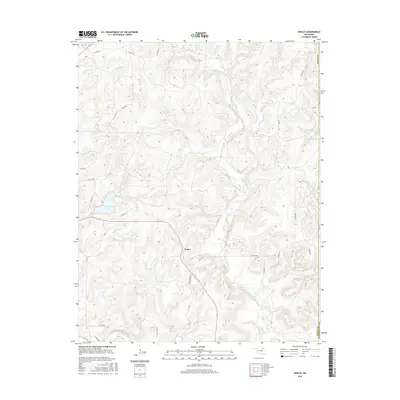
2016 Map of Wolco
USGS Topo · Published 2016About this map
Wolco sits at the heart of this Osage County landscape, positioned where the drainage systems of Bird Creek and its many tributaries define the undulating terrain. The area is characterized by a complex network of waterways, including Candy Creek and Little Candy Cr, which carve through the hills. A notable local landmark is Waxhoma Lake, providing a distinct contrast to the surrounding creek valleys like those of Dog Thresher Cr and Tucker Cr.
Find a feature on this map
35 named features on this map. Tap any name to fly to it.
Don’t see what you’re looking for? This feature index may not catch every label — zoom into the map to look around manually.
Map Details
Editions of this 2016 Wolco Map
This is the sole edition of this map. No revisions or reprints were ever made.
Other maps of this area

1901 · Claremore
USGS Topo · 1:125,000

1901 · Nowata
USGS Topo · 1:125,000

1906 · Nelagoney
USGS Topo · 1:24,000

1909 · Pawhuska
USGS Topo · 1:125,000

1910 · Pawhuska
USGS Topo · 1:125,000

1912 · Hominy
USGS Topo · 1:125,000

1914 · Nowata
USGS Topo · 1:125,000

1914 · Claremore
USGS Topo · 1:125,000

1915 · Hominy
USGS Topo · 1:125,000

1916 · Claremore
USGS Topo · 1:125,000