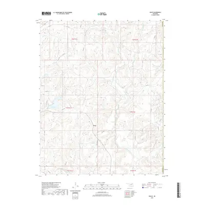
2018 Map of Wolco
USGS Topo · Published 2018About this map
Wolco sits at the heart of this landscape in Osage County, where the terrain is defined by a dense network of tributaries feeding into Bird Creek. The area is characterized by numerous small-scale water management features, including the 113092 Reservoir, 113093 Reservoir, and 113097 Reservoir, alongside the more substantial Lake Waxhoma. These water bodies are connected by a system of winding creeks such as Tucker Cr, Candy Creek, and the uniquely named Dog Thresher Cr.
Find a feature on this map
43 named features on this map. Tap any name to fly to it.
Don’t see what you’re looking for? This feature index may not catch every label — zoom into the map to look around manually.
Map Details
Editions of this 2018 Wolco Map
This is the sole edition of this map. No revisions or reprints were ever made.
Other maps of this area

1901 · Claremore
USGS Topo · 1:125,000

1901 · Nowata
USGS Topo · 1:125,000

1906 · Nelagoney
USGS Topo · 1:24,000

1909 · Pawhuska
USGS Topo · 1:125,000

1910 · Pawhuska
USGS Topo · 1:125,000

1912 · Hominy
USGS Topo · 1:125,000

1914 · Nowata
USGS Topo · 1:125,000

1914 · Claremore
USGS Topo · 1:125,000

1915 · Hominy
USGS Topo · 1:125,000

1916 · Claremore
USGS Topo · 1:125,000