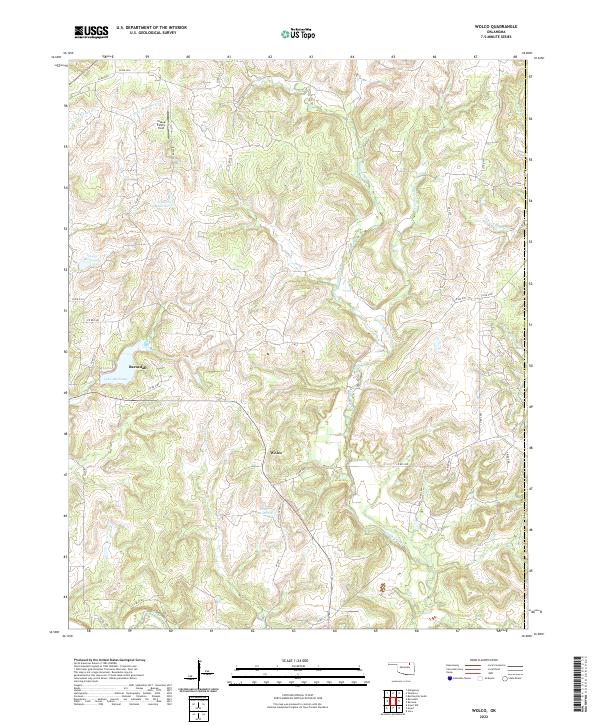
2022 Map of Wolco
USGS Topo · Published 2022About this map
Barnsdall and the settlement of Wolco anchor this portion of Osage County, where the landscape is defined by an intricate network of waterways and drainage basins. The area is dominated by the flow of Candy Creek and Tucker Cr, which navigate the undulating terrain before joining Bird Creek in the south. The presence of several numbered water bodies, such as 113092 Reservoir and 113007 Reservoir, alongside larger features like Lake Waxhoma, suggests a region heavily managed for local water resources.
Find a feature on this map
46 named features on this map. Tap any name to fly to it.
Don’t see what you’re looking for? This feature index may not catch every label — zoom into the map to look around manually.
Map Details
Editions of this 2022 Wolco Map
This is the sole edition of this map. No revisions or reprints were ever made.
Other maps of this area

1901 · Claremore
USGS Topo · 1:125,000

1901 · Nowata
USGS Topo · 1:125,000

1906 · Nelagoney
USGS Topo · 1:24,000

1909 · Pawhuska
USGS Topo · 1:125,000

1910 · Pawhuska
USGS Topo · 1:125,000

1912 · Hominy
USGS Topo · 1:125,000

1914 · Nowata
USGS Topo · 1:125,000

1914 · Claremore
USGS Topo · 1:125,000

1915 · Hominy
USGS Topo · 1:125,000

1916 · Claremore
USGS Topo · 1:125,000