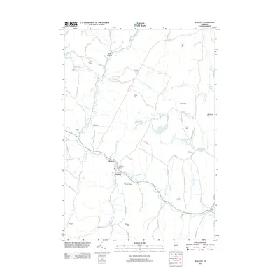
2012 Map of Wolcott
USGS Topo · Published 2012About this map
Pottersville and the town of Wolcott occupy a central position along the Lamoille River in this 2012 survey of Lamoille County. The landscape is defined by the river’s path and its many tributaries, including Kate Brook, Millard Brook, and Wolcott Pond Brook. The topography is marked by significant elevations like Jeudevine Mountain, Scribner Hill, and Town Hill, which influence the rural road network and settlement patterns.
Find a feature on this map
106 named features on this map. Tap any name to fly to it.
Don’t see what you’re looking for? This feature index may not catch every label — zoom into the map to look around manually.
Map Details
Editions of this 2012 Wolcott Map
This is the sole edition of this map. No revisions or reprints were ever made.
Other maps of this area

1919 · Montpelier
USGS Topo · 1:62,500

1921 · Montpelier
USGS Topo · 1:62,500

1927 · Hyde Park
USGS Topo · 1:48,000

1928 · Hardwick
USGS Topo · 1:62,500

1930 · Hyde Park
USGS Topo · 1:62,500

1934 · Hardwick
USGS Topo · 1:48,000

1938 · Hardwick
USGS Topo · 1:62,500

1939 · Plainfield
USGS Topo · 1:48,000

1940 · Plainfield
USGS Topo · 1:62,500

1943 · Plainfield
USGS Topo · 1:62,500