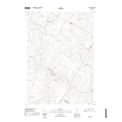
2018 Map of Wolcott
USGS Topo · Published 2018About this map
Wolcott and the nearby village of Pottersville sit along the winding banks of the Lamoille River, a central corridor through this section of Lamoille County. The map details a landscape characterized by deep-seated rural ancestry, evident in the numerous family and community burial grounds such as Davenport Cem, Pierce Cem, and the Jacob Paine Cem. The transportation history of the region is anchored by the Fisher Covered Railroad Bridge and the Jackson Bridge, which span the river and smaller tributaries like Wolcott Pond Brook. To the north, North Wolcott lies near the headwaters of the Wild Branch, while higher elevations like Town Hill and Jeudevine Mtn define the surrounding terrain. Small water bodies including Wolcott Pond, Perch Pond, and Zack Woods Pond are tucked into the upland valleys, reflecting the varied topography of the Vermont countryside as it appeared in the late 2010s.
Find a feature on this map
95 named features on this map. Tap any name to fly to it.
Don’t see what you’re looking for? This feature index may not catch every label — zoom into the map to look around manually.
Map Details
Editions of this 2018 Wolcott Map
This is the sole edition of this map. No revisions or reprints were ever made.
Other maps of this area

1919 · Montpelier
USGS Topo · 1:62,500

1921 · Montpelier
USGS Topo · 1:62,500

1927 · Hyde Park
USGS Topo · 1:48,000

1928 · Hardwick
USGS Topo · 1:62,500

1930 · Hyde Park
USGS Topo · 1:62,500

1934 · Hardwick
USGS Topo · 1:48,000

1938 · Hardwick
USGS Topo · 1:62,500

1939 · Plainfield
USGS Topo · 1:48,000

1940 · Plainfield
USGS Topo · 1:62,500

1943 · Plainfield
USGS Topo · 1:62,500