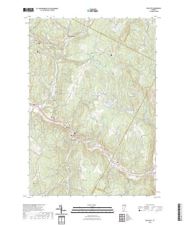
2024 Map of Wolcott
USGS Topo · Published 2024About this map
The Lamoille River defines the southern corridor of this Vermont landscape, where the primary settlements of Wolcott and Pottersville are situated. This modern topographic view reveals a region deeply tied to its geography, with several small family and community burial grounds scattered across the hills, including Davenport Cem, Pierce Cem, and the Fairmont Upper and Lower Cemeteries. These sites, along with the Jacob Paine Cemetery further east, provide significant touchpoints for genealogists tracing early residents of Lamoille County.
Find a feature on this map
88 named features on this map. Tap any name to fly to it.
Don’t see what you’re looking for? This feature index may not catch every label — zoom into the map to look around manually.
Map Details
Editions of this 2024 Wolcott Map
This is the sole edition of this map. No revisions or reprints were ever made.
Other maps of this area

1919 · Montpelier
USGS Topo · 1:62,500

1921 · Montpelier
USGS Topo · 1:62,500

1927 · Hyde Park
USGS Topo · 1:48,000

1928 · Hardwick
USGS Topo · 1:62,500

1930 · Hyde Park
USGS Topo · 1:62,500

1934 · Hardwick
USGS Topo · 1:48,000

1938 · Hardwick
USGS Topo · 1:62,500

1939 · Plainfield
USGS Topo · 1:48,000

1940 · Plainfield
USGS Topo · 1:62,500

1943 · Plainfield
USGS Topo · 1:62,500