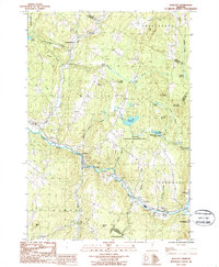
1986 Map of Wolcott
USGS Topo · Published 1987About this map
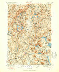
The Lamoille River winds through the heart of this Lamoille County landscape, shaping the development of settlements like Wolcott and Pottersville. This 1980s provisional study, based on 1980 aerial photography, captures the rural character of the region as it transitions from the valley floor to the prominent heights of Jeudevine Mountain and Scribner Hill. The map documents a blend of conservation and local industry, featuring the extensive East Hill Wildlife Management Area alongside active local sites such as a Landfill and several Sand + Gravel Pits.
Find a feature on this map
47 named features on this map. Tap any name to fly to it.
Don’t see what you’re looking for? This feature index may not catch every label — zoom into the map to look around manually.
Map Details
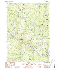
Editions of this 1986 Wolcott Map
2 editions found
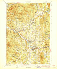
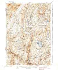
Other maps of this area

1919 · Montpelier
USGS Topo · 1:62,500

1921 · Montpelier
USGS Topo · 1:62,500

1927 · Hyde Park
USGS Topo · 1:48,000

1928 · Hardwick
USGS Topo · 1:62,500
1930 · Hyde Park
USGS Topo · 1:62,500

1934 · Hardwick
USGS Topo · 1:48,000
1938 · Hardwick
USGS Topo · 1:62,500

1939 · Plainfield
USGS Topo · 1:48,000
1940 · Plainfield
USGS Topo · 1:62,500

1943 · Plainfield
USGS Topo · 1:62,500