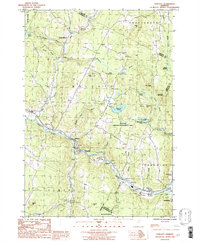
1986 Map of Wolcott
USGS Topo · Published 1987About this map
The Lamoille River defines the lower corridor of this mid-1980s Vermont landscape, flowing past the village of Wolcott and the smaller cluster at Portersville. The map captures a transition in Lamoille County where valley settlements give way to significant high-ground features like Jeudevine Mountain and The Ledges. Land use in this era is represented by active Sand and Gravel Pits near the river and the expansive East Hill Wildlife Management Area to the north.
Find a feature on this map
48 named features on this map. Tap any name to fly to it.
Don’t see what you’re looking for? This feature index may not catch every label — zoom into the map to look around manually.
Map Details
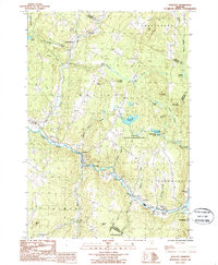
Editions of this 1986 Wolcott Map
2 editions found
Other maps of this area

1919 · Montpelier
USGS Topo · 1:62,500

1921 · Montpelier
USGS Topo · 1:62,500

1927 · Hyde Park
USGS Topo · 1:48,000

1928 · Hardwick
USGS Topo · 1:62,500

1930 · Hyde Park
USGS Topo · 1:62,500

1934 · Hardwick
USGS Topo · 1:48,000

1938 · Hardwick
USGS Topo · 1:62,500

1939 · Plainfield
USGS Topo · 1:48,000

1940 · Plainfield
USGS Topo · 1:62,500

1943 · Plainfield
USGS Topo · 1:62,500