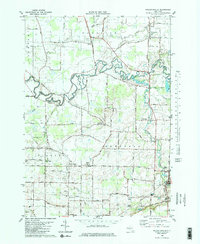
1980 Map of Wolcottsville
USGS Topo · Published 1980About this map
Wolcottsville sits at the northern edge of this landscape, where the flatlands of the Niagara and Erie county line are defined by the winding course of Tonawanda Creek. This 1980 edition captures the rural character of the region just before significant suburban shifts, showing a network of small settlements like Swifts Mills, Sand Hill, and Hunts Corners connected by long-established routes such as Delaware Road and County Road. The geography is deeply influenced by the waterways that carve through the till, including Murder Creek and Beeman Creek, which dictate the placement of local landmarks like Beeman Creek Park and the Akron Falls Park. Genealogists will find value in the precise locations of small burial grounds such as Dancer Cem and Beeman Cem, alongside religious sites like St Michaels Ch. The presence of Conrail tracks at Akron Junction and East Clarence reflects the area's historical reliance on rail infrastructure for the transport of goods across the New York interior.
Find a feature on this map
51 named features on this map. Tap any name to fly to it.
Don’t see what you’re looking for? This feature index may not catch every label — zoom into the map to look around manually.
Map Details
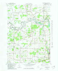
Editions of this 1980 Wolcottsville Map
2 editions found
Other maps of this area

1897 · Medina
USGS Topo · 1:62,500

1897 · Lockport
USGS Topo · 1:62,500

1899 · Niagara
USGS Topo · 1:125,000

1902 · Lockport
USGS Topo · 1:62,500

1905 · Attica
USGS Topo · 1:62,500

1905 · Depew
USGS Topo · 1:62,500

1905 · Lockport
USGS Topo · 1:62,500

1948 · Depew
USGS Topo · 1:62,500

1948 · Lockport
USGS Topo · 1:62,500

1949 · Attica
USGS Topo · 1:62,500