
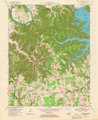
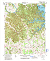
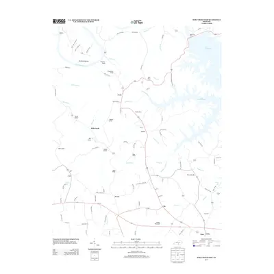
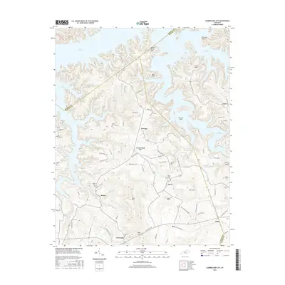
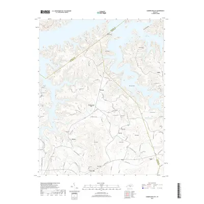
1978 Map of Wolf Creek Dam
USGS Topo · Published 1990About this map
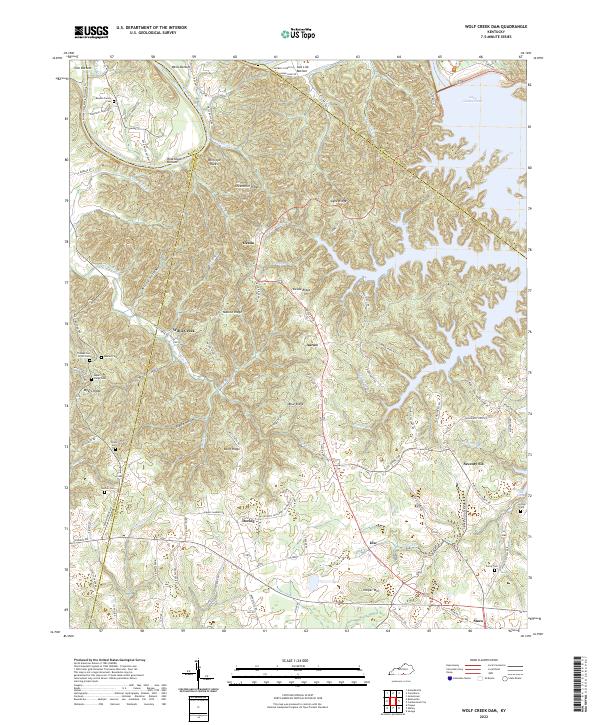
Wolf Creek Dam and the vast waters of Lake Cumberland dominate this landscape, illustrating the massive mid-century hydro-engineering efforts in Southern Kentucky. The map reveals the intricate shoreline of the reservoir as it winds through deep valleys like those of Indian Creek and Willis Creek. While the dam creates a modern infrastructure focal point with its substation and boat ramps, the surrounding area remains dotted with traditional rural markers. Numerous oil wells are scattered across Desda Ridge and Agee Ridge, pointing to local natural resource extraction. Genealogy researchers can find many family and community landmarks, including Winfreys Ferry on the Cumberland River, the Seminary school site, and multiple country churches such as Lands Chapel and Rockhouse Ch. The survey also preserves the location of Seventy Six Falls, a notable water feature near the settlement of Seventy Six.
Find a feature on this map
56 named features on this map. Tap any name to fly to it.
Don’t see what you’re looking for? This feature index may not catch every label — zoom into the map to look around manually.
Map Details
Editions of this 1978 Wolf Creek Dam Map
3 editions found

Historical Maps of Willis Creek Through Time
21 maps found
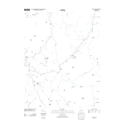
1953 Wolf Creek Dam
Clinton County, KY

1954 Cumberland City
Clinton County, KY

1954 Savage
Clinton County, KY

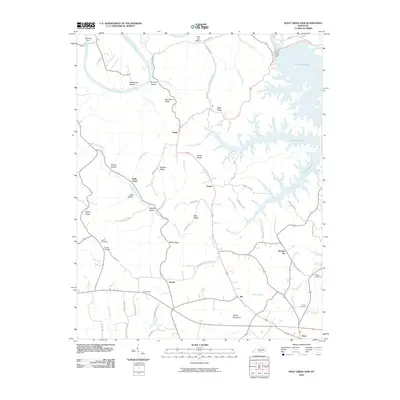
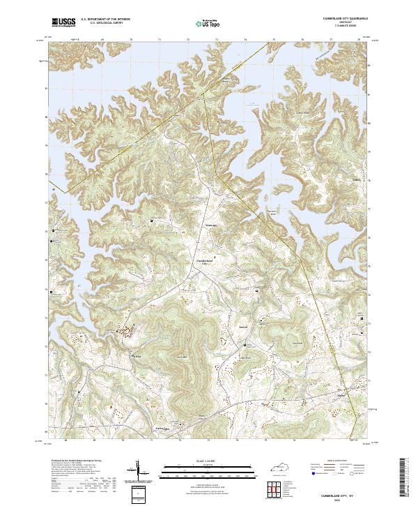
1978 Cumberland City
Clinton County, KY

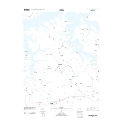
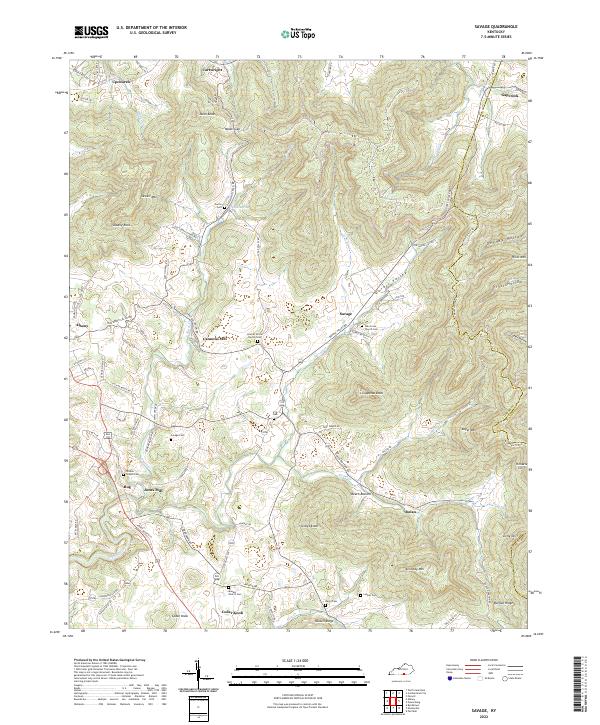
1978 Savage
Clinton County, KY
1978 Wolf Creek Dam
Clinton County, KY
2010 Cumberland City
Clinton County, KY
2010 Savage
Clinton County, KY
2010 Wolf Creek Dam
Clinton County, KY
2013 Cumberland City
Clinton County, KY
2013 Savage
Clinton County, KY
2013 Wolf Creek Dam
Clinton County, KY
2016 Cumberland City
Clinton County, KY

2016 Savage
Clinton County, KY

2016 Wolf Creek Dam
Clinton County, KY
2019 Cumberland City
Clinton County, KY

2019 Savage
Clinton County, KY

2019 Wolf Creek Dam
Clinton County, KY
2022 Cumberland City
Clinton County, KY
2022 Savage
Clinton County, KY
2022 Wolf Creek Dam
Clinton County, KY