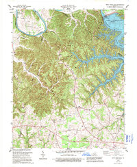
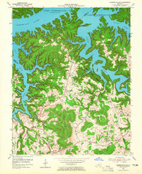
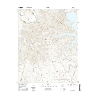
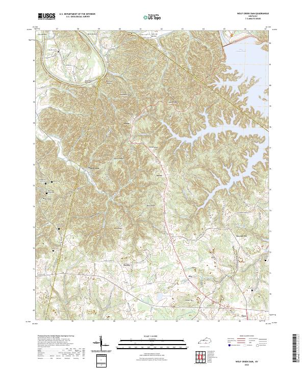
1978 Map of Wolf Creek Dam
USGS Topo · Published 1995About this map
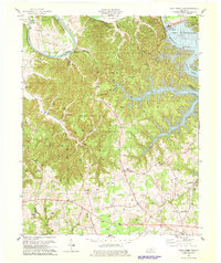
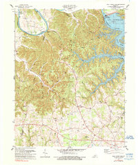
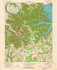
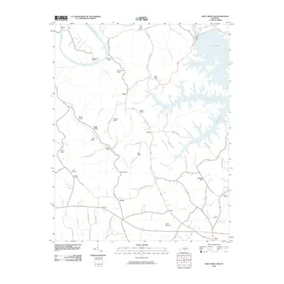
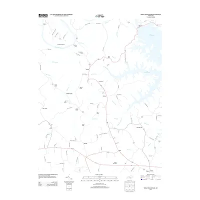
Wolf Creek Dam and the sprawling waters of Lake Cumberland dominate the landscape in this late 20th-century survey of the Russell and Clinton county border. While the dam represents a massive engineering shift for the Cumberland River, the map preserves the intricate layout of rural upland life. Numerous oil wells dot the ridges around Desda and Turkeypen, signaling the importance of the petroleum industry to the local economy. Small social centers like Aaron, Decide, and Seventy Six provide focal points for researchers, each with its own network of local houses of worship such as Lands Chapel and Aaron Chapel. Along the river’s original course, Winfreys Ferry and Rockhouse mark older transit points, while Seventy Six Falls remains a prominent geographic landmark near the lake's southern reaches.
Find a feature on this map
49 named features on this map. Tap any name to fly to it.
Don’t see what you’re looking for? This feature index may not catch every label — zoom into the map to look around manually.
Map Details
Editions of this 1978 Wolf Creek Dam Map
3 editions found
Historical Maps of Willis Creek Through Time
21 maps found
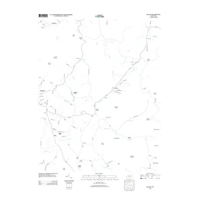
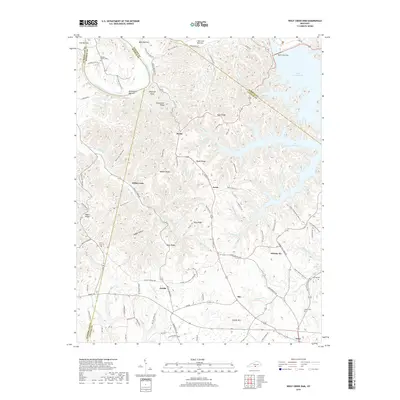
1953 Wolf Creek Dam
Clinton County, KY
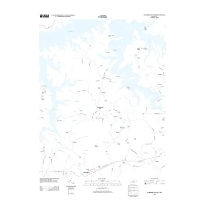
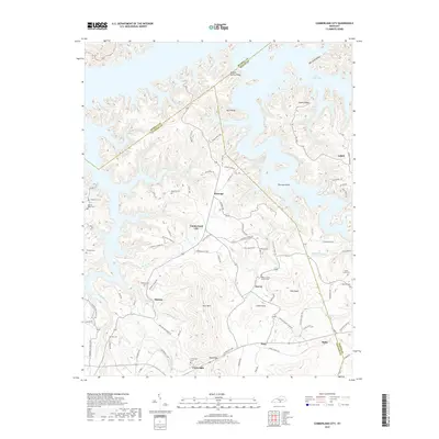
1954 Cumberland City
Clinton County, KY
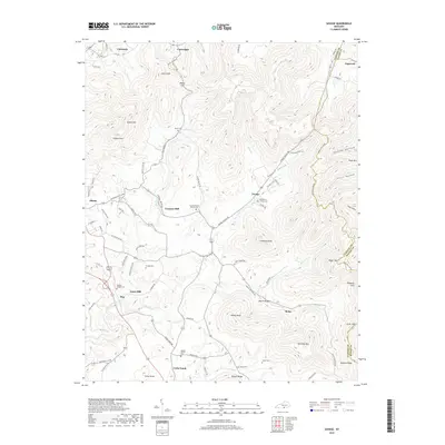
1954 Savage
Clinton County, KY
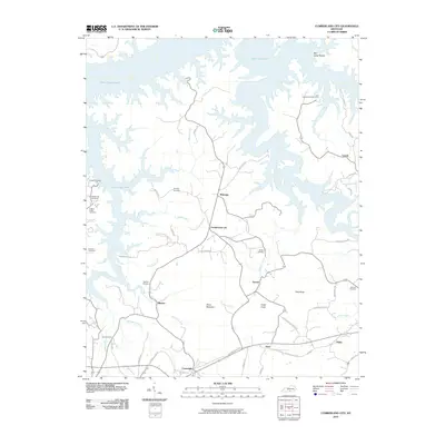
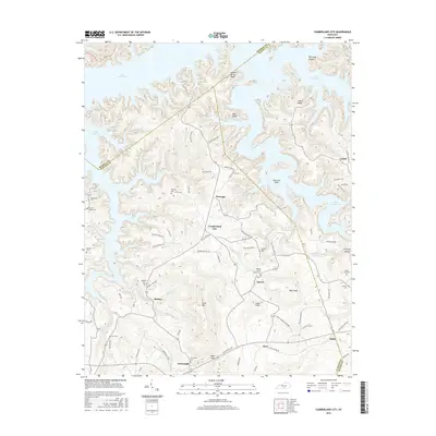
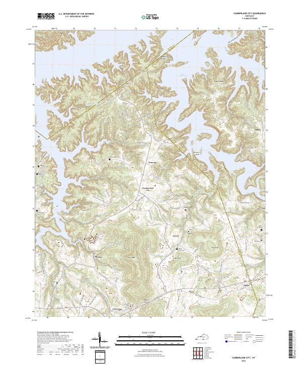
1978 Cumberland City
Clinton County, KY
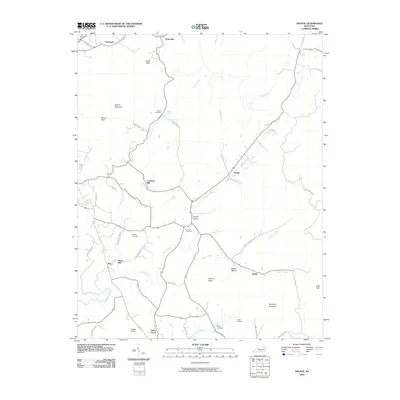
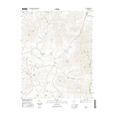
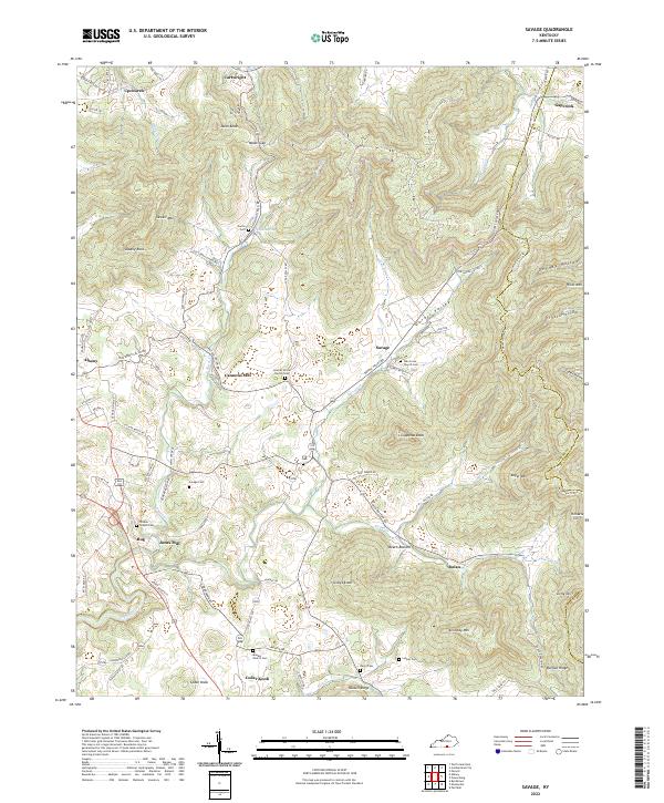
1978 Savage
Clinton County, KY
1978 Wolf Creek Dam
Clinton County, KY
2010 Cumberland City
Clinton County, KY
2010 Savage
Clinton County, KY
2010 Wolf Creek Dam
Clinton County, KY
2013 Cumberland City
Clinton County, KY
2013 Savage
Clinton County, KY
2013 Wolf Creek Dam
Clinton County, KY
2016 Cumberland City
Clinton County, KY
2016 Savage
Clinton County, KY
2016 Wolf Creek Dam
Clinton County, KY
2019 Cumberland City
Clinton County, KY
2019 Savage
Clinton County, KY
2019 Wolf Creek Dam
Clinton County, KY
2022 Cumberland City
Clinton County, KY
2022 Savage
Clinton County, KY
2022 Wolf Creek Dam
Clinton County, KY