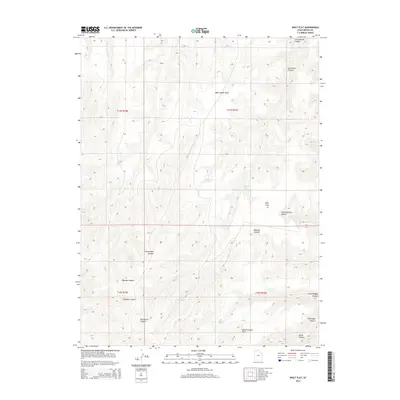
2014 Map of Wolf Flat
USGS Topo · Published 2014About this map
Wolf Flat and the surrounding Uintah County high country are defined by a complex network of drainages and seasonal water sources. The landscape is characterized by its numerous natural springs, including Cottonwood Spring, Charlie Brown Spring, and Secret Spring, which provided essential water in this arid region of eastern Utah. These points of interest are scattered among a system of deep cuts such as Mexican Canyon and School Section Canyon, illustrating the erosional patterns of the plateau.
Find a feature on this map
21 named features on this map. Tap any name to fly to it.
Don’t see what you’re looking for? This feature index may not catch every label — zoom into the map to look around manually.
Map Details
Editions of this 2014 Wolf Flat Map
This is the sole edition of this map. No revisions or reprints were ever made.
Other maps of this area

1885 · East Tavaputs
USGS Topo · 1:250,000

1953 · Firewater Canyon
USGS Topo · 1:62,500

1956 · Grand Junction
USGS Topo · 1:250,000

1959 · Grand Junction
USGS Topo · 1:250,000

1960 · Grand Junction
USGS Topo · 1:250,000

1962 · Grand Junction
USGS Topo · 1:250,000

1963 · Tenmile Canyon
USGS Topo · 1:62,500

1963 · Moonwater Point
USGS Topo · 1:62,500

1964 · Grand Junction
USGS Topo · 1:250,000

1965 · Grand Junction
USGS Topo · 1:250,000