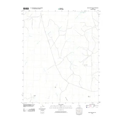
2010 Map of Wolf Mountain
USGS Topo · Published 2010About this map
Wolf Mountain and the surrounding high plains of Potter County are defined by a network of seasonal drainages and cattle ranching operations at the start of the 21st century. The landscape is dominated by the sprawling acreage of the Fryingpan Ranch and Word Ranch, reflecting the region's enduring livestock legacy. Water sources are critical in this arid environment, evidenced by the presence of Tecovas Spring and the winding course of Tecovas Creek which cuts through the terrain. Significant elevation changes are marked by Coyote Bluff and Goat Mountain, providing natural landmarks across the open range. Transport in the area relies on historic routes such as Tascosa Rd, which historically linked the region to the old town of Tascosa, and newer crossings like Hedge Coke Pass. The map also details smaller tributaries including Pedrosa Creek, Daniels Creek, and Spring Creek, which feed toward Ranch Marsh Lake in the north.
Find a feature on this map
16 named features on this map. Tap any name to fly to it.
Don’t see what you’re looking for? This feature index may not catch every label — zoom into the map to look around manually.
Map Details
Editions of this 2010 Wolf Mountain Map
This is the sole edition of this map. No revisions or reprints were ever made.
Other maps of this area

1934 · Ady
USGS Topo · 1:62,500

1934 · Cliffside
USGS Topo · 1:62,500

1936 · Cliffside
USGS Topo · 1:62,500

1936 · Ady
USGS Topo · 1:62,500

1953 · Puente
USGS Topo · 1:24,000

1953 · Cliffside
USGS Topo · 1:24,000

1954 · Tucumcari
USGS Topo · 1:250,000

1954 · Amarillo
USGS Topo · 1:250,000

1958 · Amarillo
USGS Topo · 1:250,000

1958 · Tucumcari
USGS Topo · 1:250,000