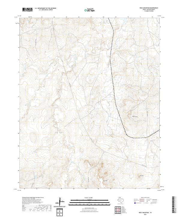
2022 Map of Wolf Mountain
USGS Topo · Published 2022About this map
Tecovas Spring serves as a vital hydrological point in this Potter County landscape, where the drainage network of Tecovas Creek and its various tributaries define the local topography. The area is characterized by distinct elevations such as Wolf Mtn, Goat Mtn, and the prominent Coyote Bluff, which dominate the horizon of the Texas Panhandle. Transport through this terrain is facilitated by Hedge Coke Pass, a notable natural corridor through the higher ground. The map reflects a rural ranching environment, with access provided by established routes like Ranch Rd 1061 and Frying Pan Rd. The presence of numerous named drainages, including Pedrosa Cr and Spring Cr, highlights the importance of water management and natural landmarks in an otherwise open and undeveloped expanse.
Find a feature on this map
15 named features on this map. Tap any name to fly to it.
Don’t see what you’re looking for? This feature index may not catch every label — zoom into the map to look around manually.
Map Details
Editions of this 2022 Wolf Mountain Map
This is the sole edition of this map. No revisions or reprints were ever made.
Other maps of this area

1934 · Ady
USGS Topo · 1:62,500

1934 · Cliffside
USGS Topo · 1:62,500

1936 · Cliffside
USGS Topo · 1:62,500

1936 · Ady
USGS Topo · 1:62,500

1953 · Puente
USGS Topo · 1:24,000

1953 · Cliffside
USGS Topo · 1:24,000

1954 · Tucumcari
USGS Topo · 1:250,000

1954 · Amarillo
USGS Topo · 1:250,000

1958 · Amarillo
USGS Topo · 1:250,000

1958 · Tucumcari
USGS Topo · 1:250,000