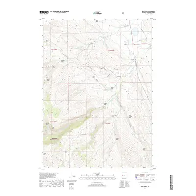
2017 Map of Wolf Point
USGS Topo · Published 2017About this map
The Shoshone National Forest defines the southwestern portion of this Fremont County landscape, where the terrain rises sharply toward Young Mtn and Wolf Point. This 2017 survey documents the complex drainage system carved by the Little Popo Agie River and its numerous tributaries, such as Cherry Cr and Barrett Cr. The map shows a clear distinction between the higher forest elevations and the lower agricultural and residential patterns to the northeast. Historical burial sites are preserved at the Little Popo Agie Cem, while the Blue Hill Lateral indicates the importance of water management in this arid region. The eastern edge is dominated by the dramatic topography of Red Canyon and the Red Canyon Rim, providing a clear look at the geological transitions of the Wind River Range foothills.
Find a feature on this map
50 named features on this map. Tap any name to fly to it.
Don’t see what you’re looking for? This feature index may not catch every label — zoom into the map to look around manually.
Map Details
Editions of this 2017 Wolf Point Map
This is the sole edition of this map. No revisions or reprints were ever made.
Other maps of this area

1952 · Lander SE
USGS Topo · 1:24,000

1952 · Lander
USGS Topo · 1:24,000

1953 · Gravel Spring
USGS Topo · 1:24,000

1953 · Fossil Hill
USGS Topo · 1:24,000

1953 · Louis Lake
USGS Topo · 1:24,000

1953 · Weiser Pass
USGS Topo · 1:24,000

1953 · Mount Arter SE
USGS Topo · 1:24,000

1954 · Wolf Point
USGS Topo · 1:24,000

1954 · Miners Delight
USGS Topo · 1:24,000

1955 · Lander
USGS Topo · 1:250,000